What is recorded here
Three stone rings stood in a tight line on the highest ridge of Ballinard, but quarrying erased the eastern fort and buried the others under modern walls. The surviving middle ring still shows a faint central wall and wide diameter, suggesting a place where people lived, marked territory or performed rites before the hill was cut open. What remains is a broken edge of that older life, half swallowed by soil and forgetting.
Fort No. 2 described in 1943 as following; 'These three forts [LI032-087-/086-085-] are situated on the highest ridge of a hill which rises to 371' [113m] OD. The forts are in a straight line and close beside one another. The most easterly of the three [LI032-087----], which was in existence at the time of the first O.S. has now completely disappeared as result of quarrying operations. This fort seems to have had two concentric stone banks between which there was a rockcut fosse. Both banks are now very collapsed and the entrance is not recognisable. On the south side a modern wall has been built over the outer bank. Running N.W., S.E., across the central enclosed space and dividing it equally, is what seems to be a collapsed stone wall. The overall diameter of the monument is 135' [41m]. These two forts (LI032-086-/085-] are the centre of complex of ancient fields, the fences of which run in various directions over the hill '(O'Kelly 1942-3, 171). Outline of monument is clearly visible today on Digital Globe aerial photographs.
Compiled by: Caimin O'Brien
Date of upload: 24 February 2020
See attached ASI aerial photograph ASIAP – 349/18 and 19 taken 05/01/2003.
The monument record does not grant public access. Check the route and ask the landowner before entering private land.
- What survives
- Recorded monument
Places near here
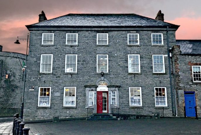 Enclosure in BallinardEnclosure · 55 yd
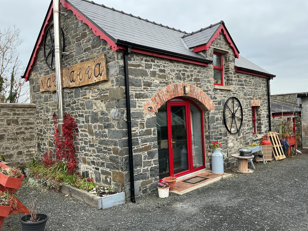 Hut site in BallinardHut site · 157 yd
 Castle (in ruins)Castle, unclassified · 296 yd
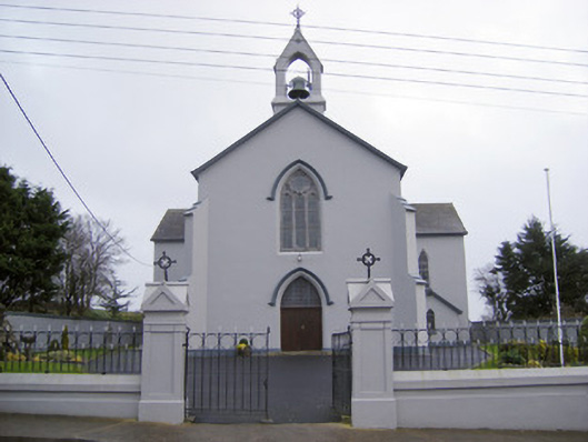 Catholic Church of the Sacred Heartchurch/chapel · 574 yd
 Cloughansoun Bridgebridge · 958 yd
 Bawn in Ballinscoola (smallcounty By., Cahercorney Ed)Bawn · 1.7 mi
 Kilteely HillMountain / peak · 2.7 mi
 St. Patrick's WellSpring · 2.8 mi
 Flat cemetery in Knockainy WestFlat cemetery · 3.6 mi
 KnockseefinMountain / peak · 5.0 mi
 St Patrick's WellSpring · 7.0 mi
 Ballinvreena LoopVisitor information · 9.3 mi