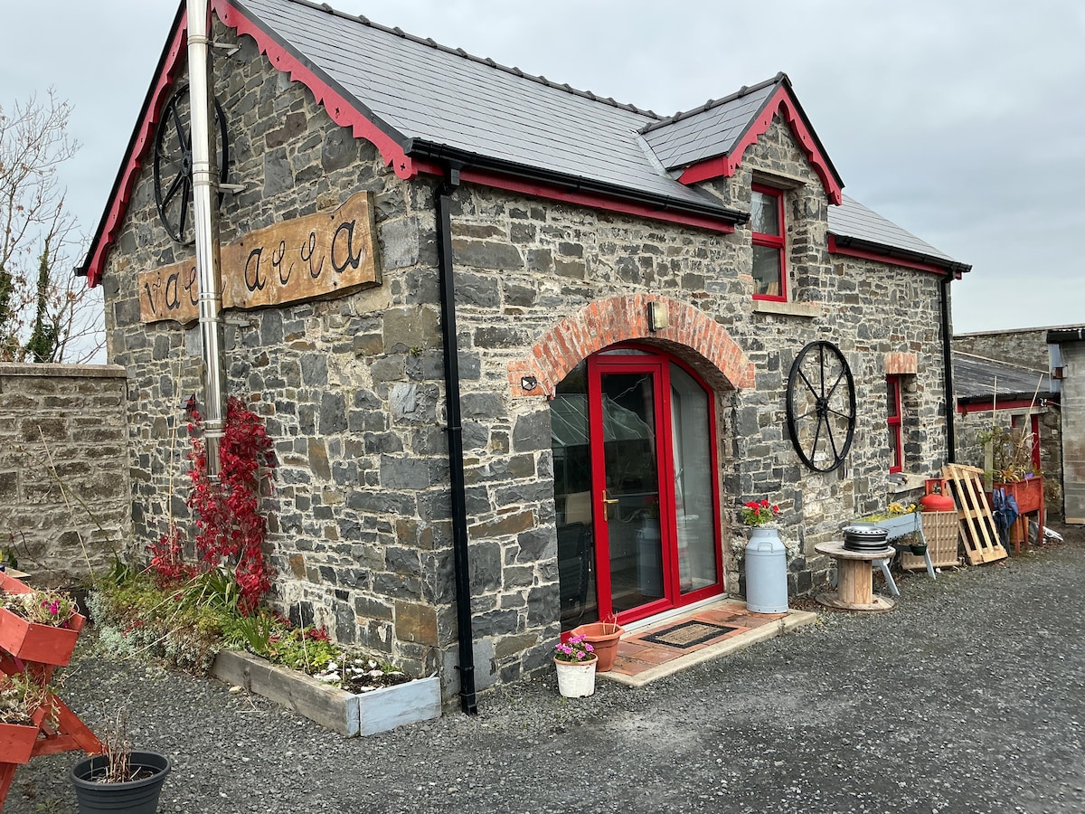
What is recorded here
Fort No. 1 (LI032-085----) described in 1943 as following; 'These three forts [LI032-087-/086-085-] are situated on the highest ridge of a hill which rises to 371' [113m] OD. The forts are in a straight line and close beside one another. The most easterly of the three [LI032-087----], which was in existence at the time of the first O.S. has now completely disappeared as result of quarrying operations. This is the more easterly of the two remaining forts [LI032-086----] and consists of a single stone rampart now very collapsed. It is not possible to say on which side the entrance was. In the centre of the enclosed space is a small low semi-circular bank 20' [6m] in diameter, which may be a hut foundation. The overall diameter of the fort is 125' [38m] (O'Kelly 1942-3, 171). Outline of monument is clearly visible today on Digital Globe aerial photographs.
Compiled by: Caimin O'Brien
Date of upload: 24 February 2020
See attached ASI aerial photograph ASIAP – 349/18 and 19 taken 05/01/2003.
The monument record does not grant public access. Check the route and ask the landowner before entering private land.
- What survives
- Recorded monument
Places near here
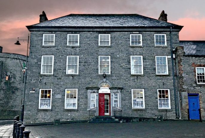 Enclosure in BallinardEnclosure · 168 yd
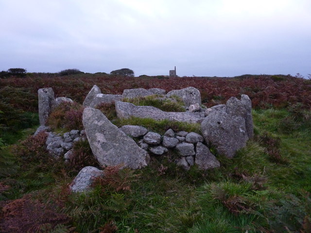 BarrowBarrow, unclassified · 300 yd
 Castle (in ruins)Castle, unclassified · 447 yd
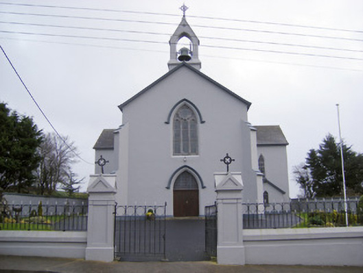 Catholic Church of the Sacred Heartchurch/chapel · 537 yd
 Cloughansoun Bridgebridge · 806 yd
 Bawn in Ballinscoola (smallcounty By., Cahercorney Ed)Bawn · 1.7 mi
 Kilteely HillMountain / peak · 2.8 mi
 St. Patrick's WellSpring · 2.9 mi
 Flat cemetery in Knockainy WestFlat cemetery · 3.6 mi
 KnockseefinMountain / peak · 5.0 mi
 St Patrick's WellSpring · 7.1 mi
 Ballinvreena LoopVisitor information · 9.3 mi
Other information
Photo: Credit not shown in the picture search · Rights wording not checked; contact us if this picture should be removed