What is recorded here
Hot water hissed across the Geestaun River bank when people heated stones and dumped them into vessels, marking the shallow fording point where life crossed the water. The semi-circular mound still holds that burnt origin beneath its sod, while the ruined stone wall sweeps around like a forgotten arm pulling the river back into the field.
In pasture, located on the W bank of the Geestaun River. A grove of trees, named ‘River Wood’ on the 1919 OS 6-inch map, lies immediately to S, bordering the river.
Sod-covered, semi-circular rise (13m NNW–SSE; c. 6m ENE–WSW; H 0.3m) bordered on the straight side by the river. A ruined stone wall that lines the river bank merges with the straight E side of the mound and swings across the SW arc of the mound. The river is relatively shallow and the burnt mound may be located close to a fording point. There is a rath (MA080-048----) c. 200m to SSW and an enclosure (MA080-058----) c. 300m to SW.
Compiled by: Jane O’Shaughnessy
Date of upload: 6 December 2021
Burnt mound in Ballinamore is a Bronze Age ritual or industrial site, characterised by a sod-covered, semi-circular rise. Its location near the Geestaun River suggests it may have been used for heat-related activities such as cooking, hide-scalding, or ceremonial purposes.
The monument record does not grant public access. Check the route and ask the landowner before entering private land.
- What survives
- Recorded monument
Places near here
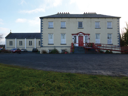 Ballinamore Housecountry house · 187 yd
 IndicatedFairy fort / earthen ringfort · 238 yd
 Enclosure in BallinamoreEnclosure · 374 yd
 CashlankeeghCastle, unclassified · 378 yd
 Ballinamore Bridgebridge · 743 yd
 Carrowbeg WoodWood · 852 yd
 I'll Send You The FareMemorial · 2.4 mi
 Kiltimagh MuseumMuseum · 2.4 mi
 CastleCastle, ringwork · 3.6 mi
 Thorn CaveCave · 5.4 mi
 Knock ShrineHeritage attraction · 5.7 mi
 East Mayo Brigade MonumentMemorial · 8.0 mi