What is recorded here
In pasture, located on the W bank of the Geestaun River. A grove of trees, named ‘River Wood’ on the 1919 OS 6-inch map, lies immediately to S, bordering the river.
Sod-covered, semi-circular rise (13m NNW–SSE; c. 6m ENE–WSW; H 0.3m) bordered on the straight side by the river. A ruined stone wall that lines the river bank merges with the straight E side of the mound and swings across the SW arc of the mound. The river is relatively shallow and the burnt mound may be located close to a fording point. There is a rath (MA080-048----) c. 200m to SSW and an enclosure (MA080-058----) c. 300m to SW.
Compiled by: Jane O’Shaughnessy
Date of upload: 6 December 2021
Burnt mound in Ballinamore is a Bronze Age ritual or industrial site, characterised by a sod-covered, semi-circular rise. Its location near the Geestaun River suggests it may have been used for heat-related activities such as cooking, hide-scalding, or ceremonial purposes.
The monument record does not grant public access. Check the route and ask the landowner before entering private land.
- What survives
- Recorded monument
Places near here
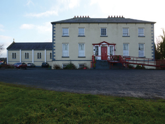 Ballinamore Housecountry house · 187 yd
 IndicatedFairy fort / earthen ringfort · 238 yd
 Enclosure in BallinamoreEnclosure · 374 yd
 CashlankeeghCastle, unclassified · 378 yd
 Ballinamore Bridgebridge · 743 yd
 Carrowbeg WoodWood · 852 yd
 I'll Send You The FareMemorial · 2.4 mi
 Kiltimagh MuseumMuseum · 2.4 mi
 CastleCastle, ringwork · 3.6 mi
 Thorn CaveCave · 5.4 mi
 Knock ShrineHeritage attraction · 5.7 mi
 East Mayo Brigade MonumentMemorial · 8.0 mi