What is recorded here
Fairy fort / earthen ringfort in Balleagny is a fairy fort or earthen ringfort in Balleagny, County Westmeath, Ireland. The 1975 survey described the monument as almost completely levelled, consisting of a subcircular area approximately 29 metres in diameter defined by faint traces of a levelled bank. That same account noted there was no visible trace of a fosse and the original entrance was not recognisable, while the interior showed a slight north-west-facing slope disturbed by modern cultivation ridges.
Situated on top of a prominent hill, surrounded by gently undulating pasture with excellent views in all directions. Depicted on the 1837 ed. OS 6-inch map as a roughly circular-shaped enclosure annotated 'Fort'. Depicted on the revised 1913 ed. OS 25-inch map as a modified oval-shaped enclosure. Circular-shaped earthwork depicted on an estate map of Sonna Demesne (NLI, MS 21 F. 48 (018) ).
Described in 1975 as an almost completely levelled monument consisting of a subcircular-shaped area (approx. diam. 29m) defined by faint traces of a levelled bank. There is no visible trace of a fosse. The original entrance is not recognisable. The interior has a slight NW-facing slope and is disturbed by modern cultivation ridges. Faint outline of monument visible on Digital Globe aerial photography.
Compiled by: Alison McQueen, Vera Rahilly and Caimin O’Brien
Date of upload: 05 February 2019
This remains an important historical record, but the official description says the monument is no longer visible or has been destroyed. The monument record does not grant public access. Check the route and ask the landowner before entering private land.
- What survives
- No visible remains or recorded as destroyed
Places near here
 Enclosure in BalleagnyEnclosure · 217 yd
 27th Lock Keep's HouseRuins · 245 yd
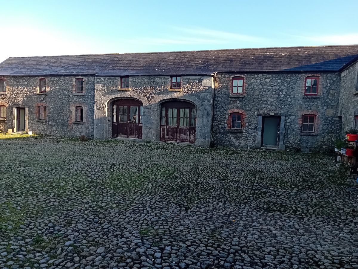 Bawn in BalleagnyBawn · 369 yd
 28th Lock Keep's HouseRuins · 438 yd
 WestmeathVisitor information · 700 yd
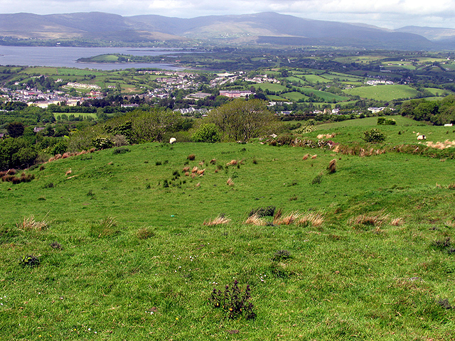 Partially hachuredFairy fort / earthen ringfort · 1716 yd
 Simonstown Castle (in Ruins)Castle, unclassified · 1.3 mi
 Ancient Ring FortWood · 2.4 mi
 Carrickphilbin IslandIslet · 3.5 mi
 Srudarra IslandIslet · 4.0 mi
 Baronstown ForestWood · 4.7 mi
 Hill of UisneachMountain / peak · 4.8 mi