
What is recorded here
Indicated is a fairy fort or earthen ringfort in Ballaghabawmore, County Roscommon, Ireland. It occupies a broad ridge south of the Carnfree ridge and presents a circular grass-covered area bounded by an earthen bank, complete fosse and outer bank. A causeway marks the southeast entrance, while a field bank and drain divide the interior. Archaeological testing nearby produced no related material.
On a broad WNW-ESE ridge c. 550m S of the WNW-ESE Carnfree ridge. Circular grass-covered area (diam. 43.7m N-S; 42.5m E-W) defined by an earthen bank (Wth 5-5.5m; int. H 0.7-0.8m; ext. H 2-2.4m) separated by a complete fosse (Wth of top 6-8m; Wth of base 2-3m; D 0.3-0.9m) from an outer bank (Wth 4.3-4.8m; H 0.3-0.8m) S-E. The entrance causeway (Wth 3m) is at SE and the interior is bisected by a N-S field bank and drain. Archaeological testing (03E0825) c. 90m to the SW failed to produce any related material (Read 2006).
See the attached aerial view taken from the NW.
Compiled by: Michael Moore
Date of upload: 24 August 2010
The monument record does not grant public access. Check the route and ask the landowner before entering private land.
- What survives
- Recorded monument
Places near here
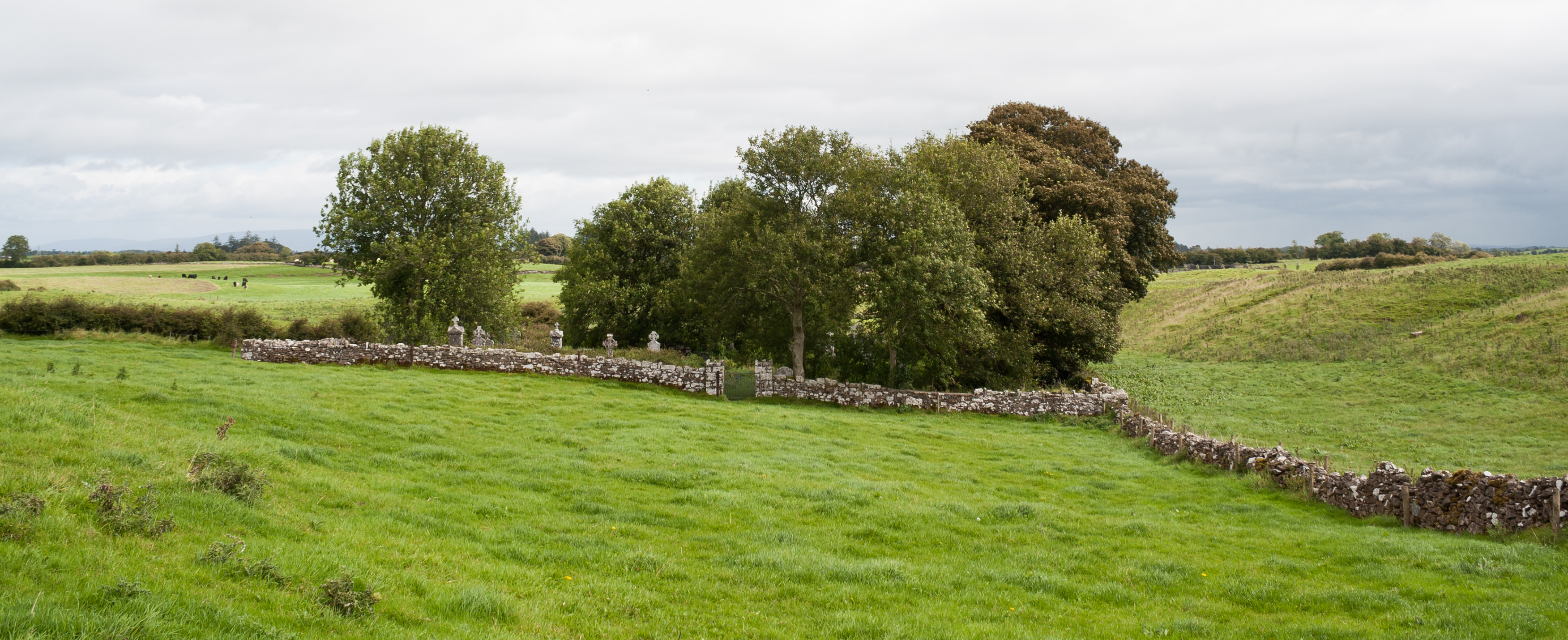 Enclosure in Lismurtagh (roscommon By.)Enclosure · 433 yd
 Settlement cluster in CarnsSettlement cluster · 500 yd
 RoadRoad, road/trackway · 999 yd
 KilnKiln, corn-drying · 1266 yd
 ToberagullaSpring · 1.8 mi
 European ashEuropean ash · 1.8 mi
 Cruachan Aí Heritage CentreMuseum · 2.1 mi
 CastleCastle, unclassified · 2.1 mi
 CastlerubyCastle, unclassified · 2.4 mi
 HawthornHawthorn · 6.0 mi
 Roscommon CastleCastle · 8.6 mi
 Site of Killomaine Grave YardArchaeological place · 9.8 mi
Other information
Photo: Credit not shown in the picture search · Rights wording not checked; contact us if this picture should be removed