What is recorded here
Indicated is a roughly circular crannog near the south shore of Lickeen Lough in County Clare, Ireland. Built of rocks and flagstones, it measures about 17.8 metres east-west and 16.2 metres north-south, rising 0.75 metres above the lake in August 1996 despite losing height from removed stones. A possible causeway juts into the water sixty metres south-southwest, hinting at the path people once walked to reach its small drystone structure.
Near the S shore of Lickeen Lough. The following details are from Crumlish (1996): this roughly circular crannog (c. 17.8m E-W; 16.2m N-S), constructed of rocks and flagstones, lies in c. 1.1-2+m of water, depending on the seasons. On inspection in August 1996, it rose 0.75m above the level of the lake. However, due to the removal of stones and flags from it over the years, mainly from the external wall-face, it does not stand to its original height. Traces of a plinth (Wth 0.1-0.2m) survived around it from NW to NE. The interior was covered in soil and vegetation. A small drystone structrure (CL016-069002-) occupied it. In the E sector, an area of disturbance (4m E-W; D 0.6m) related to an attempt to construct a landing area for boats. On the shoreline, c. 60m to the SSW, a possible causeway (CL016-069003-) jutting out into the lake probably accessed it.
The following image has been uploaded: CL016-069001-_01.jpg General view from NE
Compiled by: Olive Alcock and Lynda McCormack
Date of upload: 5 May 2022
The monument record does not grant public access. Check the route and ask the landowner before entering private land.
- What survives
- Recorded monument
Places near here
 CastleCastle, unclassified · 685 yd
 CaherballaghFairy fort / earthen ringfort · 856 yd
 Lickeen FortFairy fort / earthen ringfort · 1320 yd
 Penitential station in CahersherkinPenitential station · 1.1 mi
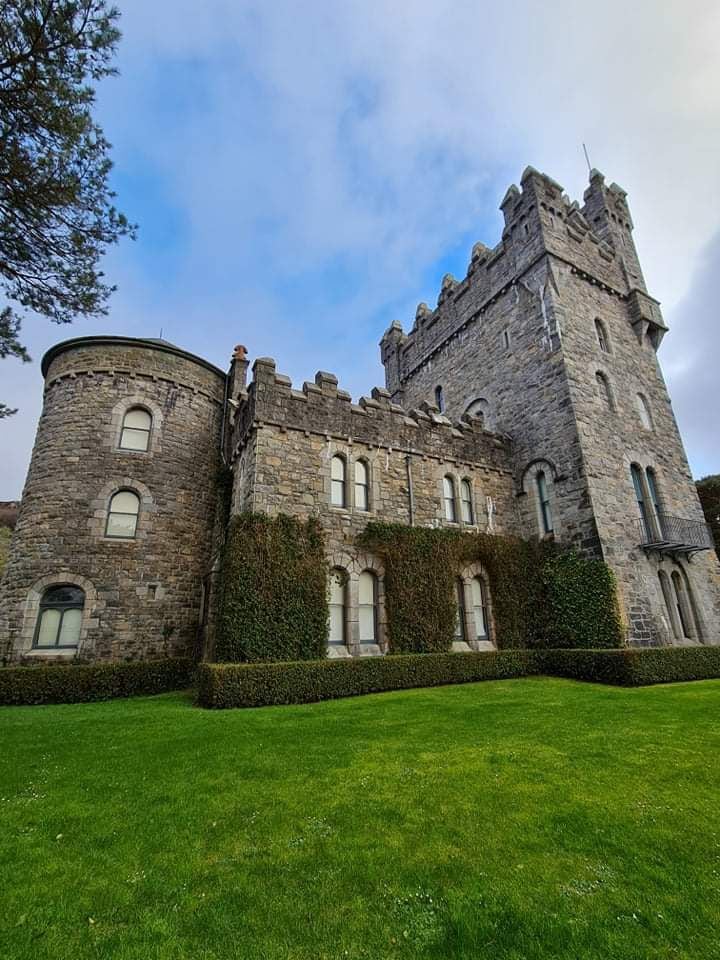 Tullagh Castle (in ruins)Castle, unclassified · 1.2 mi
 Kiltonaghty Church (in ruins)Church · 1.9 mi
 Burren Centre KilfenoraVisitor information · 2.0 mi
 High CrossHeritage attraction · 2.0 mi
 Famine MemorialMemorial · 4.0 mi
 Kilmanahn GraveyardRuins · 4.0 mi
 Fergus River CaveCave · 4.7 mi
 Ballyteigue Nature ReserveNature reserve · 4.7 mi