What is recorded here
On a slightly terraced area at break in slope between the steep upper side of Clomantagh hills and more gently sloping land dropping down to valley to the S-SW-W, in reclaimed grassland. There are good views to the N, S and W. A roughly D-shaped enclosure (dims. c. 67m NNW-SSE; c. 74m ENE-WSW), the straight side running ENE-WSW with the curvilinear enclosure to the NW. A roughly square enclosure (KK012-007001-), possibly a small field, conjoins to the S, and is visible as a cropmark on an aerial photograph (CUCAP BGN092, 19 July 1971). The fosse of the D-shaped enclosure is also visible on this aerial as a cropmark, however, the remains of the broad low bank (Wth 6-8m; int. and ext. H 0.3-0.5m) are visible, though it has been levelled. There is a possible entrance (Wth c. 5m) in the W sector. The enclosure was levelled in the late 1950s/early 1960s.
Compiled by: Jean Farrelly
Date of upload: 28 May 2019
The monument record does not grant public access. Check the route and ask the landowner before entering private land.
- What survives
- Recorded monument
Places near here
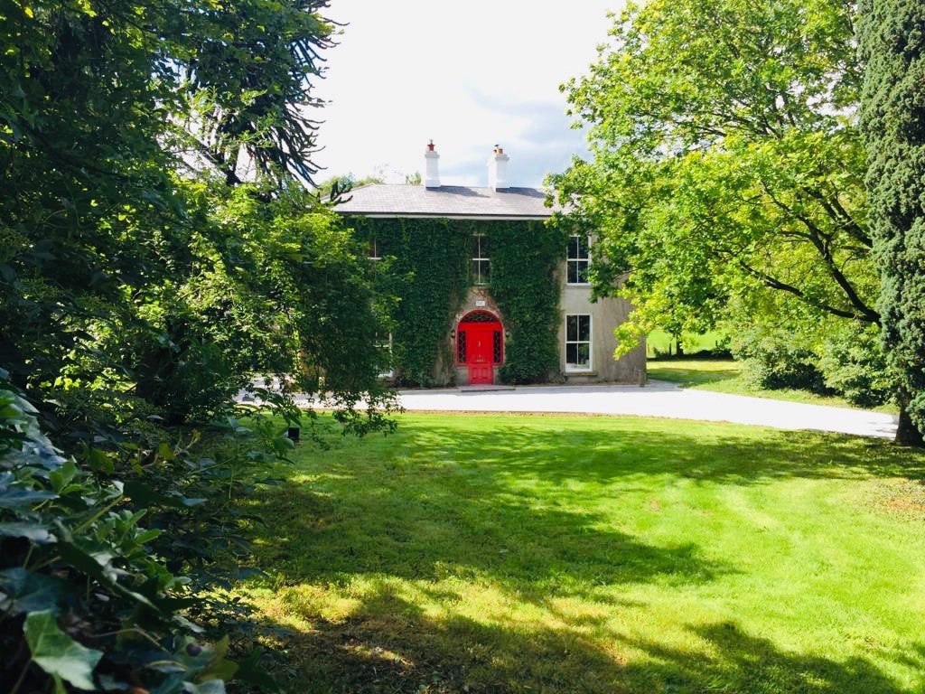 Enclosure in Balief UpperEnclosure · 66 yd
 Concentric enclosure in SevensistersConcentric enclosure · 693 yd
 rectory/glebe/vicarage/curate's houserectory/glebe/vicarage/curate's house · 1047 yd
 Clomantagh HillMountain / peak · 1105 yd
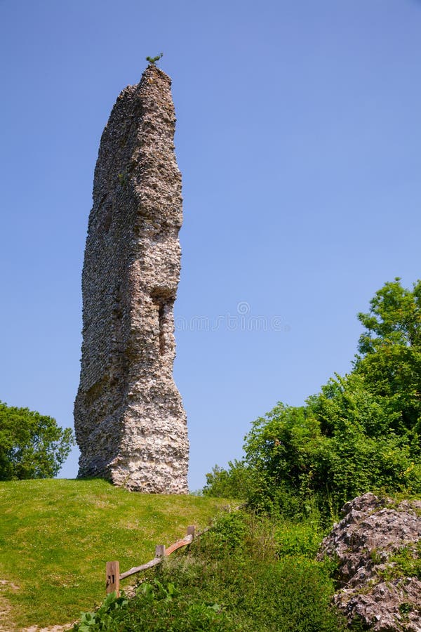 CastleCastle, ringwork and bailey · 1701 yd
 Temple DonaghmoreChurch · 1.2 mi
 John HelyMemorial · 1.8 mi
 DelaneyMemorial · 2.0 mi
 Killoshulan Castle (ruin)Castle · 2.1 mi
 Kildrinagh WoodForest · 2.9 mi
 Street fieldArchaeological place · 3.8 mi
 Anker's IslandIsland · 8.7 mi