What is recorded here
In pasture. Indicated on 1842 OS 6-inch map as lime kiln; on 1905 and 1937 OS 6-inch maps as circular mound. Heavily overgrown mound (18m N-S; 18m E-W; H 3.85m), irregular in shape and height and incorporating circular mound of burnt material at N end. Apparently fulacht fiadh material reused in construction of lime kiln, which is now ruined. Slightly raised linear feature to SW may be remains of ramp of lime kiln.
The above description is derived from the published 'Archaeological Inventory of County Cork. Volume 4: North Cork' (Dublin: Stationery Office, 2000). In certain instances the entries have been revised and updated in the light of recent research.
Date of upload/revision: 14 January 2009
The monument record does not grant public access. Check the route and ask the landowner before entering private land.
- What survives
- Recorded monument
Places near here
 Fulacht fia in FerryfortFulacht fia · 1146 yd
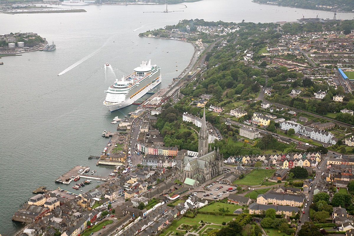 LisnaferneyFairy fort / earthen ringfort · 1373 yd
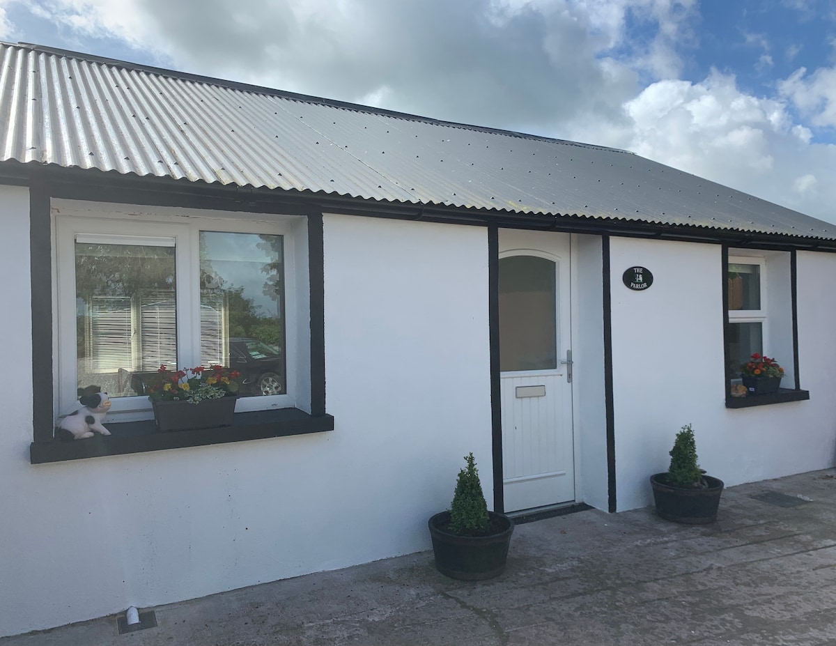 Teeveny HouseCountry house · 1732 yd
 Castle (Site of)Castle, unclassified · 1.4 mi
 Castlehill BridgeBridge · 1.5 mi
 Liscarroll CastleCastle · 2.6 mi
 Battle of LiscarrollMajor battlefield · 2.7 mi
 Windmill HillMountain / peak · 3.8 mi
 National Co-op MuseumMuseum · 4.4 mi
 ToberacappeenSpring · 5.2 mi
 Churchtown TrailsVisitor information · 5.2 mi
 Lady's WellSpring · 5.7 mi