What is recorded here
On flat poorly drained land, in pasture with a nearby stream 30m to the W. The enclosure is depicted on the 2nd ed. OS 6-inch map as roughly circular (map dims. c. 45m N-S; c. 48m E-W). A sketch plan and section of the monument from the 1950s shows a roughly circular area enclosed by a bank (OPW files). It is described as a levelled enclosure in 1982 (Cahill 1982) and is visible on an aerial photograph as a circular cropmark (ASIAP 38 10-12). It is not visible at ground level.
Compiled by: Jean Farrelly
Date of upload: 26 August 2011
The monument record does not grant public access. Check the route and ask the landowner before entering private land.
- What survives
- Recorded monument
Places near here
 Castle in ruinsCastle, tower house · 1405 yd
 CastleCastle, ringwork · 1.0 mi
 Enclosure in MoycarkyEnclosure · 1.1 mi
 Ballytarsna Church (in Ruins), Grave YardChurch · 1.2 mi
 Killough Hill (site of)Mountain / peak · 1.3 mi
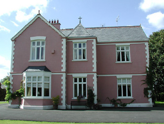 presbytery/parochial/curate's housepresbytery/parochial/curate's house · 1.5 mi
 Enclosure in Killough (gaile Par.)Enclosure · 1.5 mi
 Gift Horse GalleryGallery · 1.6 mi
 Horse and JockeyVisitor information · 2.1 mi
 Gobban Saer's GraveArchaeological place · 3.2 mi
 Ballinure HillMountain / peak · 3.3 mi
 Taylor's WoodWood · 3.7 mi