What is recorded here
Aughaboy still holds the buried line of a fort, waiting for a shovel or a storm to reveal how thick its wall was. The name Rath is not decoration; it is the shape of the place, a made circle where people drew a boundary around themselves and the land. Nothing flashy is needed to make it important. The ordinary act of enclosing a life is the whole story, and the ground has kept that act closed ever since.
The official Northern Ireland record identifies this as RATH. Recorded period: E.CHRIST.. The official map point was placed at the centre of the recorded archaeological site from the source map reference.
The monument record does not grant public access. Check the route and ask the landowner before entering private land.
- What survives
- Recorded monument
Places near here
 ENCLOSURE in DunteigeENCLOSURE · 1075 yd
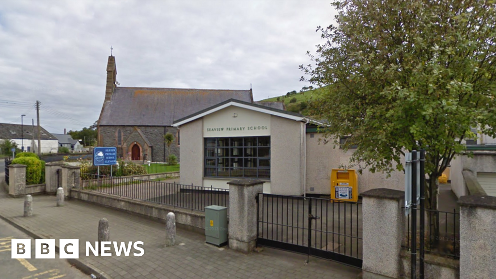 AP Cropmark: Possible circular enclosure in AughaboyAP Cropmark: Possible circular enclosure · 1206 yd
 Craigy HillMountain / peak · 1.2 mi
 BallycoosMountain / peak · 1.9 mi
 Glenarm ForestForest · 2.9 mi
 Presbyterian ChurchChurch · 4.2 mi
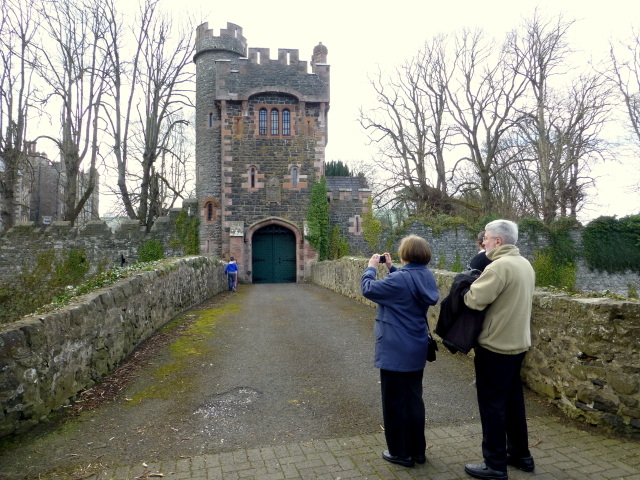 CASTLE (site of) in Town Parks (glenarm)CASTLE (site of) · 4.2 mi
 Glenarm CastleCastle · 4.2 mi
 Ballygally CastleHeritage attraction · 4.3 mi
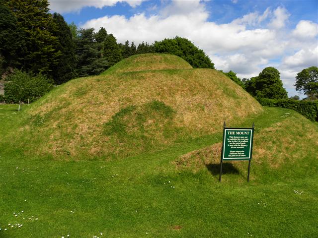 The MountViewpoint · 4.3 mi
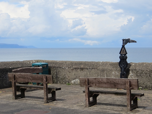 Millennium MilepostVisitor information · 4.3 mi
 FRANCISCAN FRIARY & CHURCH (in ruins) in Cloney, GlenarmFRANCISCAN FRIARY & CHURCH (in ruins) · 4.4 mi