
What is recorded here
Attyflin holds two superimposed boulders standing six feet high on low-lying pasture beside Fort Etna House. Celie O’Rahilly identified the man-made feature in 1991, yet neither the 1840 nor 1897 survey maps marked it. The stones may have marked a boundary, awaited a ceremony or simply resisted the patience of men who moved earth for kings. Trees now cover the place, denying even shadow to what little remains visible.
In pasture on demesne lands of Fort Etna House, located 300m to E. Not depicted on either the 1840 0S 6-inch map or the 1897 25-inch OS map. Identified as Site No. 5 by Celie O’Rahilly in 1991 when it was described as following; ‘on the edge of the field boundary. This site is situated on low-lying ground. It consists of two superimposed large boulders, standing c. 6 feet [1.8m] high, with loose stones around the base. Although this feature does not fit any category of archaeological monument, it is man-made.’ No surface remains visible today in tree-covered are on Google Earth orthoimage taken 14/02/2020.
See attached location map showing site 5, taken from O'Rahilly 1991.
Compiled by: Martin Fitzpatrick
Date upload 23 June 2020
The monument record does not grant public access. Check the route and ask the landowner before entering private land.
- What survives
- Recorded monument
Places near here
 ExcavationExcavation, miscellaneous · 65 yd
 Fort Etnacountry house · 269 yd
 milestone/milepostmilestone/milepost · 581 yd
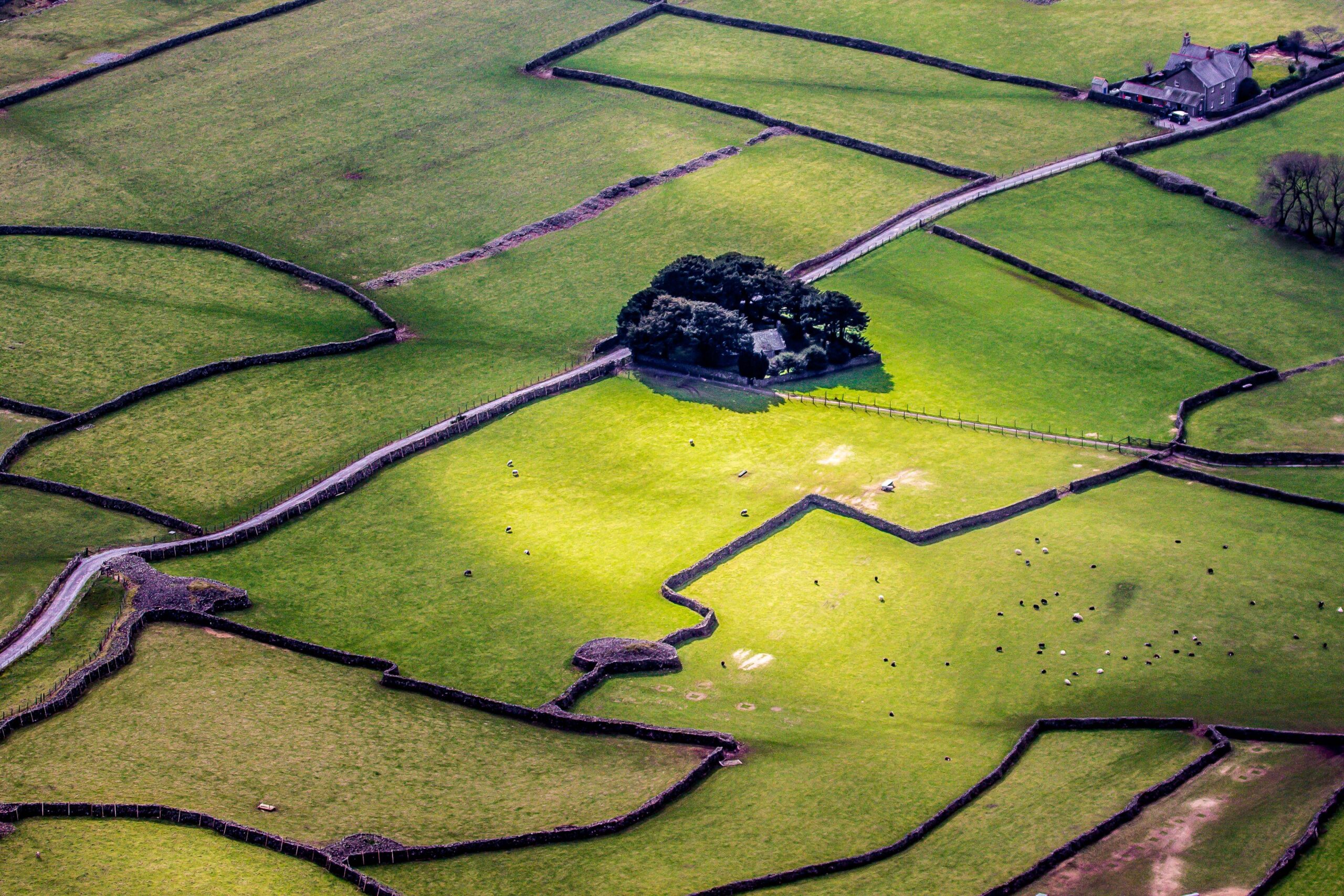 Designed landscape feature in AttyflinDesigned landscape feature · 679 yd
 Castle FieldCastle, unclassified · 1.8 mi
 Ballinveala Castle (in ruins)Castle, tower house · 2.1 mi
 Biodiversity in the Maigue CatchmentVisitor information · 4.9 mi
 Dysert AenghusaHeritage attraction · 5.1 mi
 Sailors HaggardMemorial · 5.1 mi
 Kinnoor WellSpring · 6.4 mi
 Flat cemetery in Kiltenan SouthFlat cemetery · 6.9 mi
 Grass IslandIslet · 6.9 mi
Other information
Photo: Credit not shown in the picture search · Rights wording not checked; contact us if this picture should be removed