What is recorded here
Indicated is a children's burial ground hidden beneath grass and forgotten field stones in County Roscommon. The drystone wall still stands at the north edge while the other sides have collapsed into the slope, preserving a rectangular chamber where small lives may have rested without markers. Local memory gives the place its true name, even though survey maps still label it a fort.
Marked only on the OS 25-inch map as the site of a fort, and situated on a gentle S-facing slope. This is a rectangular overgrown area (dims 30m E-W; 27m N-S) defined by a drystone wall at N, and collapsed walls on the other sides. There is local information that it was used as a children's burial ground, but no grave-markers are visible. There are field stones in the interior.
Compiled by: Michael Moore
Date of upload: 24 August 2010
The monument record does not grant public access. Check the route and ask the landowner before entering private land.
- What survives
- Recorded monument
Places near here
 Religious houseReligious house, Augustinian, of Arrouaise nuns · 1209 yd
 Castle ParkCastle, unclassified · 1440 yd
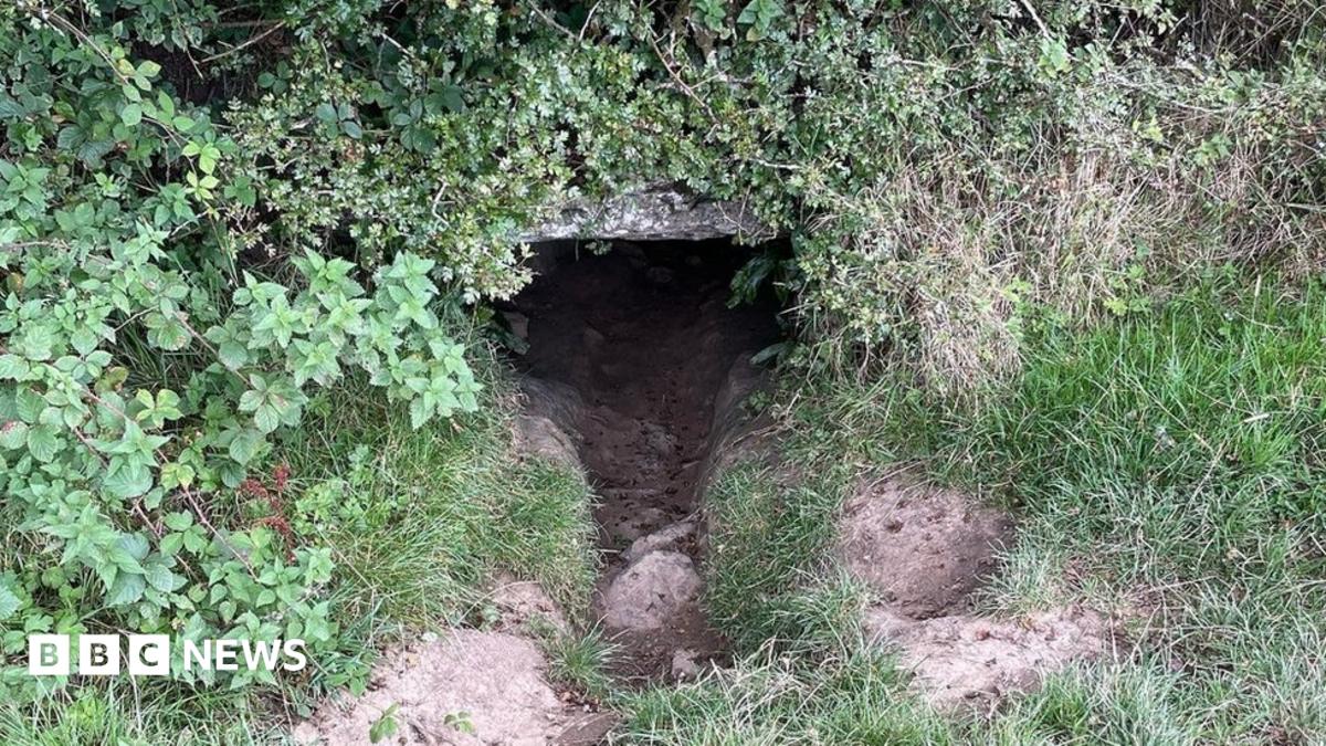 CaveMan-made underground passage · 1590 yd
 Newcomen CastleCastle, unclassified · 1.5 mi
 Enclosure in KnockEnclosure · 1.6 mi
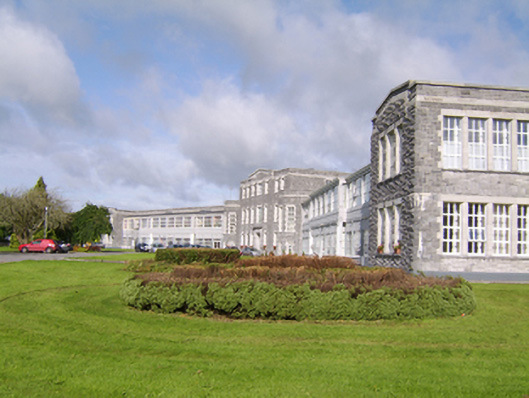 Saint Brigid's Hospitalhospital/infirmary · 2.5 mi
 Sheep HillMountain / peak · 3.8 mi
 Clooncoran IslandIsland · 3.8 mi
 Ardcarn IslandsIslet · 4.2 mi
 Split HillMountain / peak · 5.1 mi
 West WoodWood · 5.5 mi
 LismoneyForest · 6.3 mi