What is recorded here
Grave Yard at Athlumney stands on a SW-facing slope above the River Boyne, its D-shaped wall enclosing the parish church and marking dead people across centuries. The road cuts slightly into the north edge, yet the place keeps its shape: stone, soil, river light and the steady presence of the buried.
Situated on level ground with the top of a SW-facing slope overlooking a SSE-NNW section of the River Boyne c. 100m to the SW, and with the river c. 50m further to the SW. The parish church of Athlumney (ME025-031----) is within a D-shaped graveyard (max. dims c. 63m NW-SE; c. 50m NE-SW) defined by masonry walls that is curtailed slightly by a WNW-ESE road on the N side. The graveslab (ME025-031002-) is in the nave fo the church.
Compiled by: Michael Moore
Date of upload: 3 July, 2014
The monument record does not grant public access. Check the route and ask the landowner before entering private land.
- What survives
- Recorded monument
Places near here
 Church (in Ruins)Church · 8 yd
 church/chapelchurch/chapel · 9 yd
 CastleCastle, motte · 113 yd
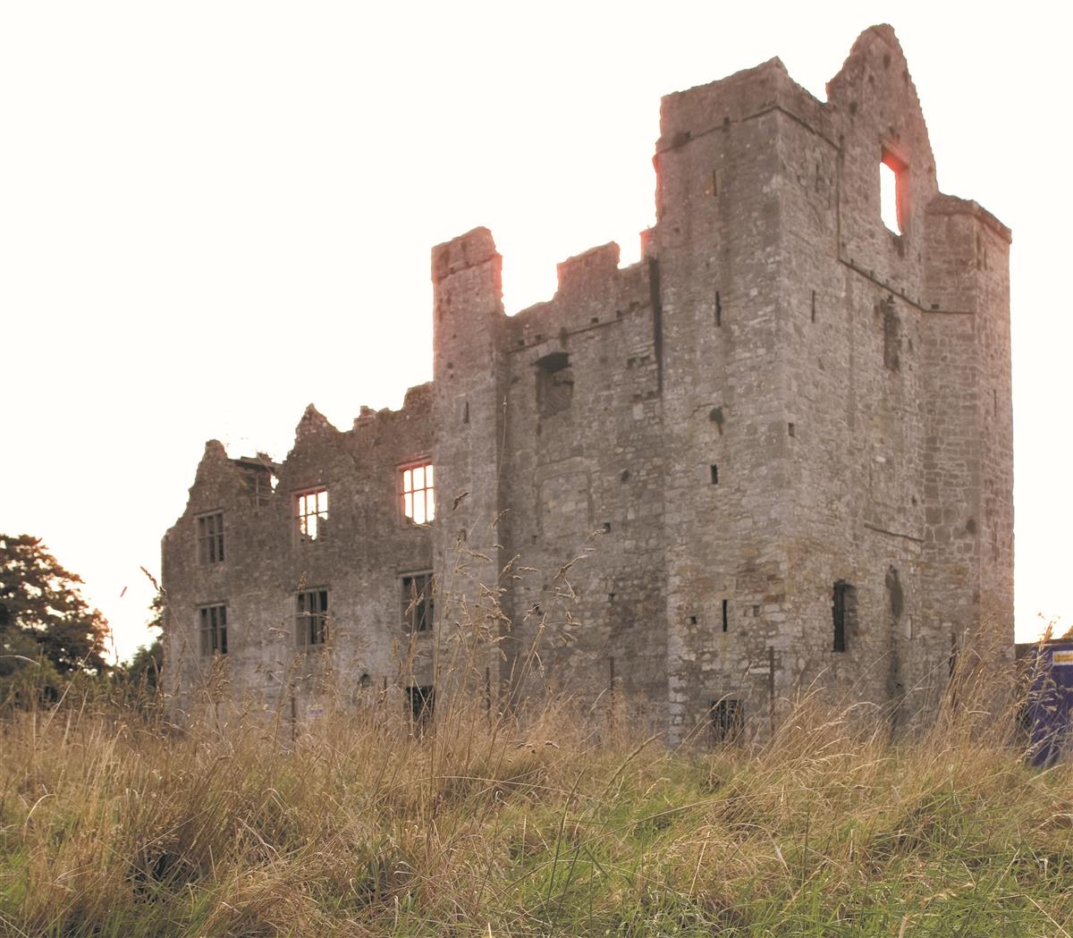 Enclosure in AthlumneyEnclosure · 266 yd
 The RampartWood · 494 yd
 CrossCross, Wayside cross (present location) · 645 yd
 Nangle CourtMemorial · 1.3 mi
 Blackcastle DemesneWood · 1.4 mi
 Donaghmore Round TowerHeritage attraction · 1.5 mi
 Carn HillMountain / peak · 2.1 mi
 Rathaldron Ho.Castle, tower house · 2.2 mi
 BohermeenMountain / peak · 4.0 mi