What is recorded here
No visible fortification. It may have vanished, never existed or hidden beneath the ground. An edge may still break the surface under grass, soil or water. The chamber is a lost room, not a invented one.
In level pasture. Circular area (diam. 34m) enclosed by earthen bank (int. H 0.3m; ext. H 0.9m) with external fosse (Wth 1m; D 0.15m). Gap (Wth 4m) in bank at E recently widened to allow farm machinery access interior. Interior level and under rough pasture, though rubbish and rubble being dumped along perimeter.
Compiled by: Denis Power
Date of upload: 26 August 2011
The monument record does not grant public access. Check the route and ask the landowner before entering private land.
- What survives
- Recorded monument
Places near here
 Enclosure in GardenfieldEnclosure · 687 yd
 Moated site in ArranaghMoated site · 723 yd
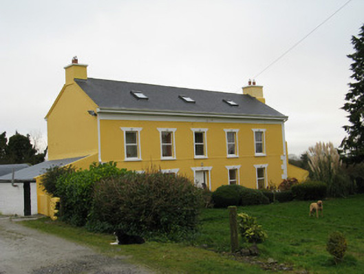 Camas Househouse · 1197 yd
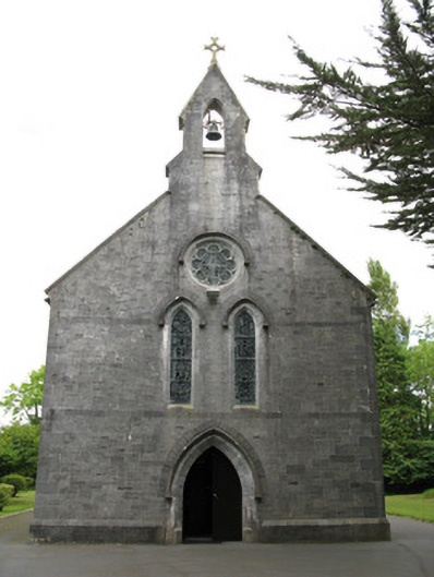 Saint Mary's Catholic Churchchurch/chapel · 1522 yd
 Dotted outlineBawn · 1.9 mi
 Saint Ite's WellSpring · 2.0 mi
 Glenquin CastleCastle · 2.4 mi
 Ballagh MountainMountain / peak · 3.1 mi
 Limerick GreenwayWalking route · 4.4 mi
 TobereenalaffinaSpring · 4.4 mi
 Sugar HillMountain / peak · 4.6 mi
 Mullaghareirk - Banane LoopWalking route · 6.9 mi