What is recorded here
Recorded wreck SWR321 lies upright off County Armagh, its decking collapsed but its frame still standing against the current. The official record offers no date, no name and no depth beyond a single negative number, as if the sea swallowed the facts but refused to take the shape. Perhaps it is a cart error made flesh, a phantom voyage repeated until stone and water agreed it was real.
The official Northern Ireland wreck record identifies Recorded wreck SWR321 as a wreck. It was lost in Unknown. Recorded depth: -1. Recorded condition: Upright, decking collapsed.
A wreck point does not grant access or permission to dive, enter land, disturb the site or recover anything. Check current law and local conditions first.
Places near here
 Enclosure/Building in Fathom UpperEnclosure/Building · 1221 yd
 ENCLOSURE in AghnamoiraENCLOSURE · 1333 yd
 Narrow Water CastleCastle · 1.1 mi
 Ring of Gullion Way - Section 2Walking route · 1.2 mi
 TOWER-HOUSE AND BAWN: NARROW WATER CASTLE in Narrow WaterTOWER-HOUSE AND BAWN: NARROW WATER CASTLE · 1.3 mi
 Narrow Water WatchtowerVisitor information · 1.3 mi
 Narrow Water KeepHeritage attraction · 1.3 mi
 Warrenpoint ambushambush · 1.3 mi
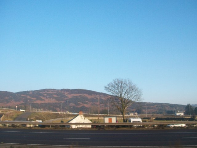 Fathom MountainMountain / peak · 1.3 mi
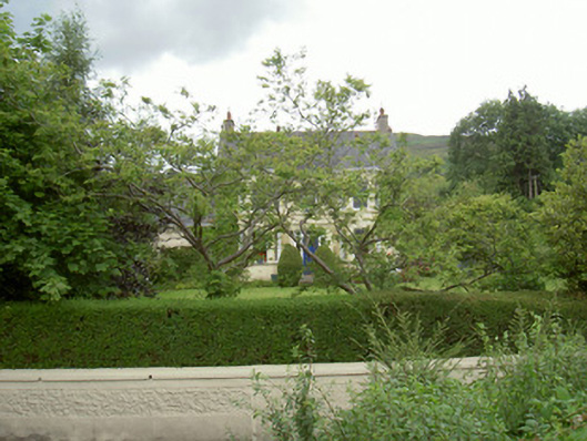 Annaghill Househouse · 1.4 mi
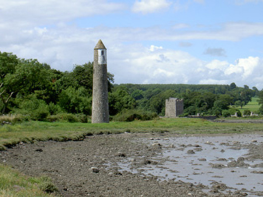 Newry River Lighthouse (Rear)beacon · 1.5 mi
 Anglesey MountainMountain / peak · 1.8 mi