What is recorded here
Scotland's National Record of the Historic Environment records Unknown as Submarine (second World War)-(1946). The official map says its point is accurate as follows: NGR given to the nearest 1m. The record does not by itself mean that the public may enter the place.
The historic-place record does not grant public access. Check current conditions and ownership before entering land or a building.
Places near here
 SkildrenmoreIslet · 23 mi
 SkildrenbegIslet · 23 mi
 Malin HeadHeadland · 23 mi
 Devil's Bridge, Malin HeadNatural rock arch · 23 mi
 Hell's Hole Cavern, Malin HeadSea cavern and cliff chasm · 24 mi
 Malin Head Watchman's Hutwatch tower · 24 mi
 Wild Atlantic Way:Malin HeadVisitor information · 24 mi
 Marconi Telegraph Stationsemaphore station, telegraph station · 24 mi
 EIRE 80 signSecond World War neutrality sign · 24 mi
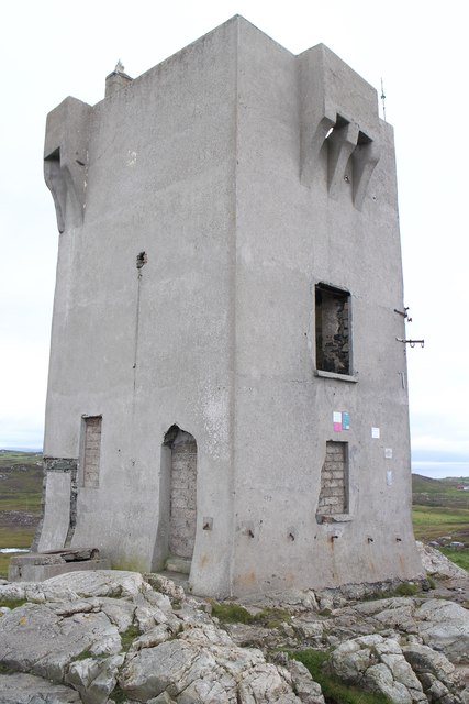
 Malin TowerSignal tower · 24 mi
 Pebble StrandBeach / strand · 24 mi
 The Doon at Malin WellPromontory fort, coastal · 26 mi