What is recorded here
Fairy fort / earthen ringfort in Ardvarney is a fairy fort or earthen ringfort in Ardvarney, County Sligo, Ireland. A 1992 inspection measured the poorly preserved circular area at roughly eighteen metres north-south and sixteen metres east-west, with a 1.3-metre scarp and stone core along the northern arc. Forestry cultivation, a farm track and a field boundary disturbed the remainder, while overgrowth now blocks all access to the site.
In a clearing in coniferous forest, on a slight NE-facing slope. This rath was described during a previous site inspection in 1992 as a poorly preserved roughly circular area (c. 18m N-S, c. 16m E-W) defined by a scarp (H 1.3m) with a stone core along the N arc. The remainder of the rath was barely discernible as it had been heavily disturbed by forestry cultivation ridge, a N-S farm track which crosses the E side of the interior and a field boundary which truncates the E perimeter (SMR (1989) file). This rath is now completely inaccessible due to overgrowth.
The above description is derived from the published 'Archaeological Inventory of County Sligo' compiled by Ursula Egan, Elizabeth Byrne, Mary Sleeman with Sheila Ronan and Connie Murphy (Dublin Stationery Office, 2005).
Date of upload: 18 January 2008
The monument record does not grant public access. Check the route and ask the landowner before entering private land.
- What survives
- Recorded monument
Places near here
 RathoeFairy fort / earthen ringfort · 418 yd
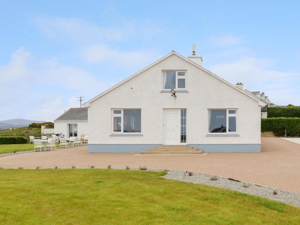 Enclosure in ArdaghEnclosure · 605 yd
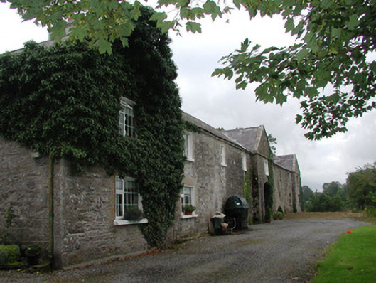 Ardagh Housefarmyard complex · 932 yd
 Drumcolumb Church (in Ruins)Church · 1.1 mi
 Riverstown Folk ParkHeritage attraction · 1.2 mi
 Castle Douglas (Site of)Castle, unclassified · 1.3 mi
 Coola Castle (in Ruins)Bawn · 2.4 mi
 James MorrisonMemorial · 3.3 mi
 Annaghgowla IslandIslet · 3.5 mi
 InishmoreIslet · 3.9 mi
 School CaveCave · 4.5 mi
 Bricklieve MountainsMountain / peak · 4.7 mi