What is recorded here
In pasture, located on a slight rise in an area of gently undulating grassland. A rath (MA030-015) is visible c. 200m to SW.
This moated site consists of a raised, rectangular platform (36.8m E–W; 34m N–S) defined by remnants of a bank, and enclosed by a fosse and external bank. The inner bank survives mainly as a scarp (Wth slope 3.4m; ext. H 2m) with a low internal rim (Wth 0.6m; int. H 0.2m). The fosse (Wth 4.5m) is broad and well defined. The external bank (Wth 5.9m; H ext. 0.9m, at N) remains substantial on the N side, but is rather degraded elsewhere. There is a break (Wth 6m) in the external bank at the NE angle, and it is also largely eroded at the SE angle. At W the external bank has been reduced to, or possibly replaced by, a low stony bank, topped with a post and wire fence, which flanks the E side of a grassed-over, disused laneway. The laneway skirts the W site of the moated site, respecting its outline.
In the NW quadrant of the interior there is a shallow, sub-rectangular depression or area of disturbance (8.4m E–W; 4.5m N–S). In the SE quadrant there is an L-shaped depression or shallow trench (Wth 1.4m), which extends E–W for c. 7-8m and turns at its E end for c. 8m to the S. It is bordered on its outer edge at N and E by a low raised rim (Wth 1.2m; H 0.2m).
A later field fence, on a roughly E–W axis, cuts across the external bank and fosse at NE. Interior grass covered; dense hawthorn and brambles on the banks and fosse.
Compiled by: Jane O'Shaughnessy
Date of upload: 12 April 2018
The monument record does not grant public access. Check the route and ask the landowner before entering private land.
- What survives
- Recorded monument
Places near here
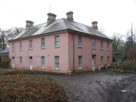 Glen Lodgefarm house · 712 yd
 Quignamanger National Schoolschool · 1553 yd
 Rinphilip PointHeadland · 1593 yd
 FloretteWreck · 1.0 mi
 Castleconnor (in Ruins)Castle, hall-house · 1.1 mi
 Belleek WoodsWood · 1.2 mi
 IndicatedFairy fort / earthen ringfort · 1.2 mi
 Enclosure in QuignaleckaEnclosure · 1.3 mi
 The Marshall Doran CollectionGallery · 1.3 mi
 HawthornHawthorn · 1.7 mi
 CastleCastle, unclassified · 1.8 mi
 Rosserk AbbeyHeritage attraction · 1.8 mi