What is recorded here
Indicated is a fairy fort in County Cork, Ireland. It is a circular earthwork with stone-facing, about thirty-four metres across, and has two gaps that act as gateways. Cultivation ridges still cross its interior, suggesting people farmed inside the ring before it became pasture. The fort sits on a southwest-facing slope, where rain and light would have shaped life within its bank.
In pasture, on SW-facing slope. Circular area (33.3m N-S; 34m E-W) enclosed by earthen, stone-faced bank (H 1.5m). Gaps in bank to N and E, functioning as gateways. Cultivation ridges cross interior on N-S axis.
The above description is derived from the published 'Archaeological Inventory of County Cork. Volume 1: West Cork' (Dublin: Stationery Office, 1992). In certain instances the entries have been revised and updated in the light of recent research.
Date of upload/revision: 14 January 2009
The monument record does not grant public access. Check the route and ask the landowner before entering private land.
- What survives
- Recorded monument
Places near here
 Enclosure in LaharanshermeenEnclosure · 343 yd
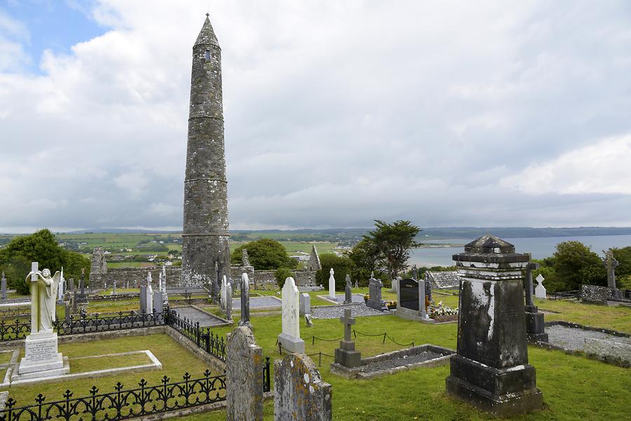 Burial ground in Ards More (west)Burial ground · 634 yd
 Kealkill stone circleVisitor information · 1.4 mi
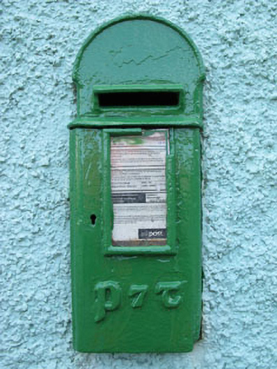 post boxpost box · 1.9 mi
 Carding MillMill, carding · 2.1 mi
 Carriganass CastleCastle · 2.1 mi
 Mullach MéiseMountain / peak · 2.3 mi
 St Finbarr's Pilgrim RouteWalking route · 2.6 mi
 Bulls PocketMountain / peak · 2.9 mi
 Francis O'Neill PlaqueMemorial · 3.3 mi
 Castle (in Ruins)House, fortified house · 3.6 mi
 Ballylickey BayBay · 3.8 mi