What is recorded here
Ardpatrick settlement cluster occupies green pasture beside its church and graveyard, preserving earthworks that resisted cartographic capture until aerial photography revealed their extent. Some depressions mark old quarrying, others belong to a field system, but the largest outlines suggest neighbouring dwellings clustered around the sacred centre. The cluster escaped the 1840 and 1897 maps yet defied easy dismissal, reminding us that human occupation often waits beneath surface assumptions for a clearer vantage point.
In pasture. Associated with ecclesiastical enclosure (LI056-002002-), road (LI056-002002-) and Ardpatrick church and graveyard (LI056-002002-/009-) lie to immediate S. Not marked on the 1840 ed. or 1897 ed. OSi historic maps. Depicted on the Cassini ed. OSi 6-inch map as circular depression defined by a scarp. In 1978 the earthworks were described as following; ‘There are old quarry depressions in the side of the hill to the NW of the graveyard.’ Numerous depressions visible on Digital Globe orthoimage taken between 2011-2013 and on Google Earth orthoimages some of which may have been the result of quarrying while other earthworks are related to a field system (LI056-002004-) and others may be related to clustered settlement surrounding Ardpatrick Church and graveyard. Extensive outline of possible settlement earthworks clearly visible surrounding Ardpatrick church and graveyard on oblique aerial photographs (CUCAP ATD049/061) taken 21/07/1967.
See attached Google Earth orthoimages
Compiled by: Fiona Rooney
Date of upload: 19 November 2021
The monument record does not grant public access. Check the route and ask the landowner before entering private land.
- What survives
- Recorded monument
Places near here
 ‘Cloigtheach (Round Tower)’Round tower · 123 yd
 St. Patricks WellHoly well · 147 yd
 Rian Bo Phadraig - IndicatedRoad, road/trackway · 164 yd
 Saint Patrick's Catholic Churchchurch/chapel · 761 yd
 Castle PhilipMountain / peak · 1.6 mi
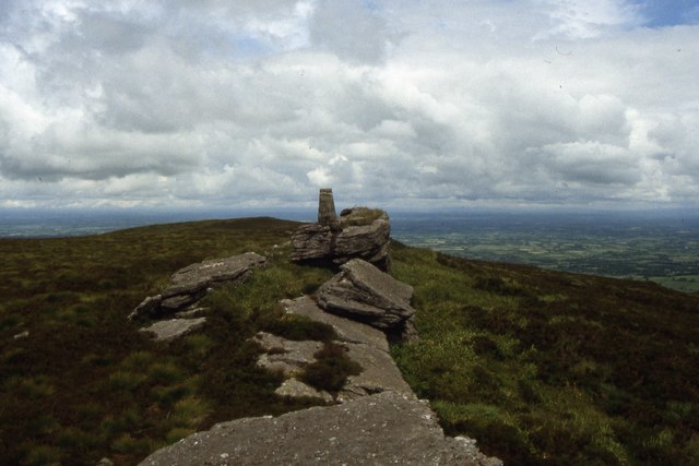 Seefin Mountain West TopMountain / peak · 1.8 mi
 Ballymacshaneboy Castle (in ruins)Castle, unclassified · 2.8 mi
 St Bridget's WellSpring · 2.9 mi
 Ballyhoura tourist informationVisitor information · 3.0 mi
 Treada Na Ríogh (The Moat), hachuredCastle, motte · 3.1 mi
 ToberpatrickSpring · 3.4 mi
 BallinaboolaVisitor information · 3.7 mi