What is recorded here
Located in a relatively flat location in a large tillage field (c. 91m OD) close to the centre of the modern field. Sited c. 400m SSE of an enclosure (WI042-001----), and c. 504m NNE of a ruinous church (WI042-003001-) and an associated graveyard (WI042-003002-), that are located within the same townland of Ardoyne close to the border with County Carlow. This enclosure, one of a number of cropmarks located within the same large field including a ring-ditch (WI047-029----) located c. 100m to the W\WNW, is clearly visible on Google Earth aerial photograph of the site (July 2021). It consists of a subcircular\oval feature (ext. dims c. 12.5m N-S E-W x c. 14.8m N-S) defined by a continuous ditch (Wth c. 1.5m) that can be traced along the entire circuit in the above aerial photograph. No evidence for an entrance gap.
Compiled by: T.J. O'Meara based on details provided by Jean-Charles Caillère
Uploaded on: 29/06/2023
The monument record does not grant public access. Check the route and ask the landowner before entering private land.
- What survives
- Recorded monument
Places near here
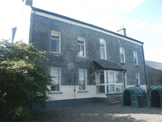 Ardoyne Housefarm house · 418 yd
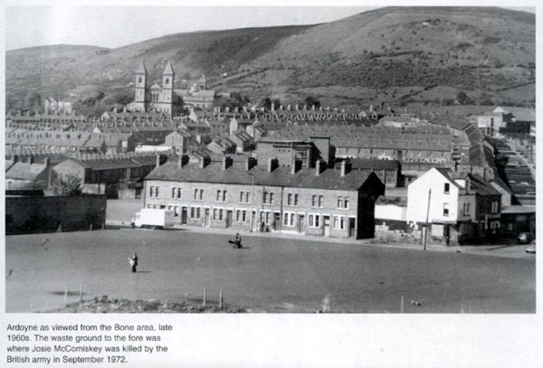 Enclosure in ArdoyneEnclosure · 443 yd
 Ecclesiastical enclosure in ArdoyneEcclesiastical enclosure · 555 yd
 CastleCastle, motte and bailey · 685 yd
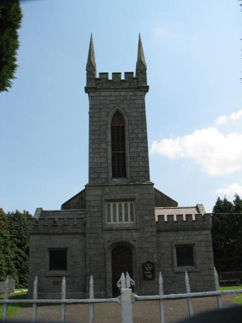 Holy Trinity Church (Ardoyne)church/chapel · 1432 yd
 Rath WoodForest · 1547 yd
 SycamoreSycamore · 2.5 mi
 Castlegrace MoatCastle, motte · 3.3 mi
 Altamont House and GardensHeritage attraction · 3.6 mi
 Altamont Gardens MapVisitor information · 3.7 mi
 Acaun Church (in ruins), GraveyardChurch · 4.5 mi
 Church (in Ruins), GraveyardChurch · 6.1 mi