What is recorded here
Marked as a circular embanked enclosure (ext. diam. c. 35-40,m) on the 1840 ed. of the OS 6-inch map and visible as a cropmark (diam. c. 40m), incorpoarting a field bank SW-N, on an aerial photograph (CUCAP, ASZ 70). Situated towards the W end of the summit of a broad E-W ridge. It is not visible at ground level in a cereal crop.
The above description is derived from the published 'Archaeological Inventory of County Waterford' (Dublin: Stationery Office, 1999). In certain instances the entries have been revised and updated in the light of recent research.
Compiled by: Michael Moore
Date of upload/revision: 3rd August, 2010.
The monument record does not grant public access. Check the route and ask the landowner before entering private land.
- What survives
- Recorded monument
Places near here
 Man-made underground passage in ArdoginnaMan-made underground passage · 297 yd
 mausoleummausoleum · 357 yd
 Ardoginna Housecountry house · 561 yd
 Goat Island beachBeach / strand · 865 yd
 Enclosure in Ballynamona (decies Within Drum By.)Enclosure · 924 yd
 Ardmore Round TowerMedieval round tower · 1701 yd
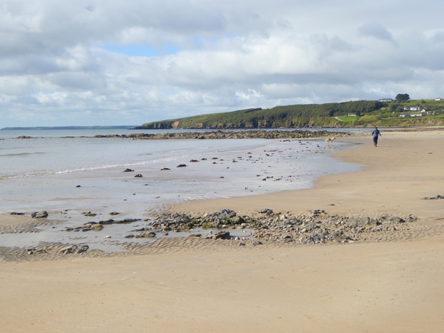 Whiting BayBeach / strand · 1.3 mi
 Baile StairiúilVisitor information · 1.5 mi
 Ardmore Cliff WalkWalking route · 1.5 mi
 Cabin PointHeadland · 2.0 mi
 Ferry PointViewpoint · 3.9 mi
 Matty CoakleyMemorial · 4.0 mi