What is recorded here
Indicated is a ruined stone ringfort in County Cork, Ireland, where a collapsed wall still marks a circular home on an east-facing slope. People may have built the chamber, defended it or forgotten it, but the stones remain visible in rough grazing. The southern gap and hidden central passage suggest the fort still holds more than it reveals.
In rough grazing, on E-facing slope. Circular area (34m N-S; 36m E-W) enclosed by collapsed stone wall (H 1.3m; T 1.6m); gap (Wth 3.8m) to S. Possible Man-made underground passage (8944) in centre of interior.
The above description is derived from the published 'Archaeological Inventory of County Cork. Volume 3: Mid Cork' (Dublin: Stationery Office, 1997). In certain instances the entries have been revised and updated in the light of recent research.
Date of upload/revision: 14 January 2009
The monument record does not grant public access. Check the route and ask the landowner before entering private land.
- What survives
- Recorded monument
Places near here
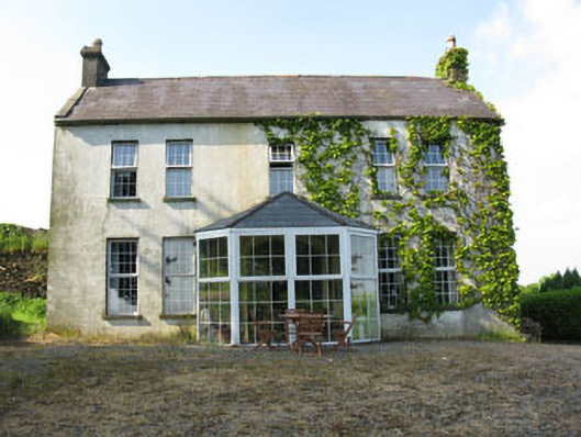 Mount Crosshouse · 1068 yd
 Grave YdGraveyard · 1258 yd
 IndicatedKiln, lime · 1285 yd
 Neill's WoodWood · 1.0 mi
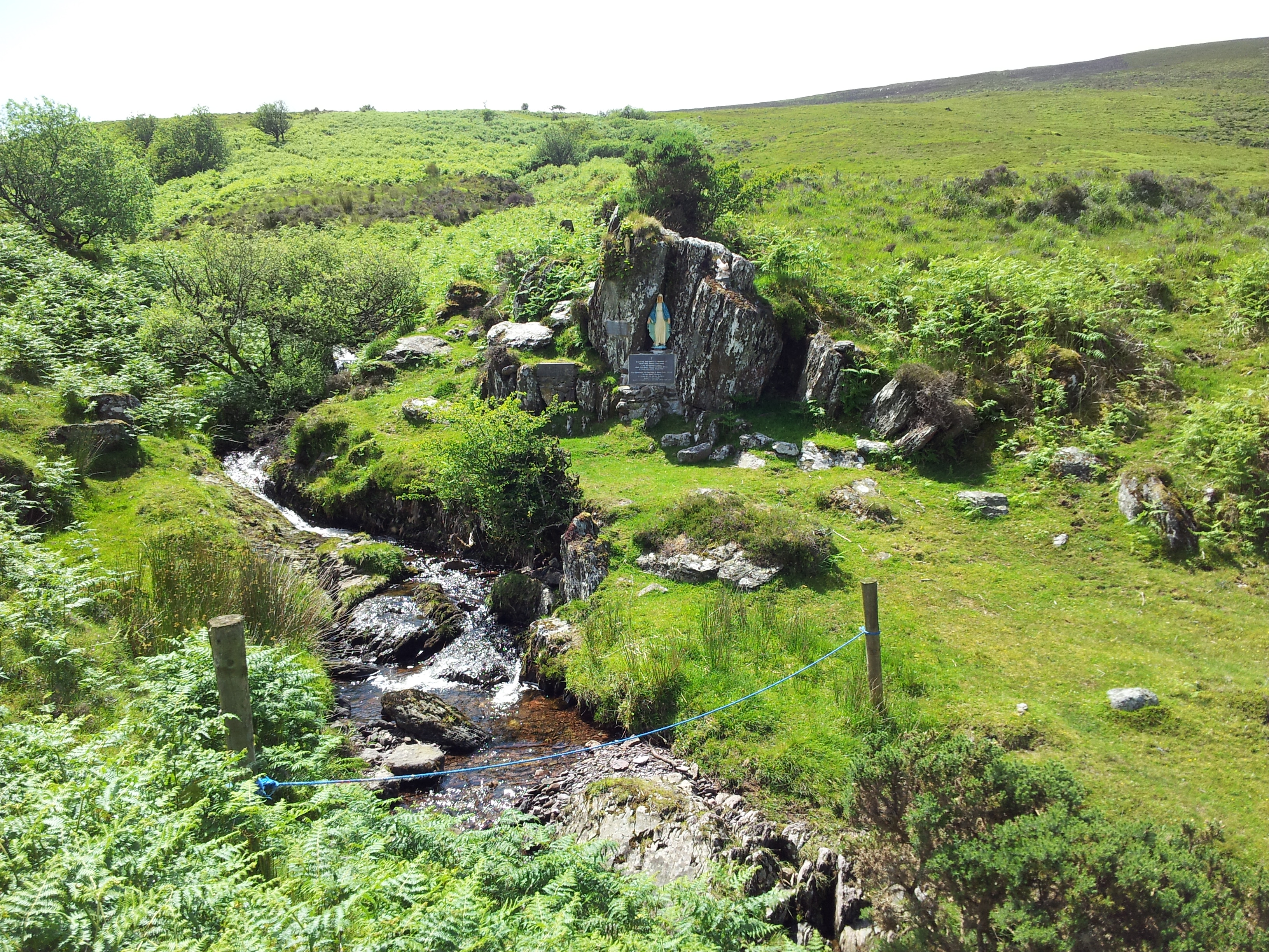 Mass RockMass-rock · 1.5 mi
 Carrigaphooca CastleCastle · 2.2 mi
 Curraheen WoodWood · 2.3 mi
 Clonavrick CliffCliff · 2.4 mi
 Macroom WalksVisitor information · 2.4 mi
 Macroom Castle (in Ruins)Castle, tower house · 2.5 mi
 Battle of Macroombattle · 2.7 mi
 BurrenMountain / peak · 4.2 mi