What is recorded here
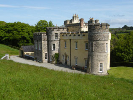
Indicated is a ghost garden buried beneath Cork pasture, visible only when drought strips the grass or sunlight angles across the slope. It belonged to Cor Castle, a formal circular room where people may have walked past kitchens, bedrooms or courts now reduced to soil memory. The land keeps its shape even when human hands forget it, suggesting that beauty and authority once occupied the same green field.
In pasture on NE-facing slope. Appears as large circular crop-mark on aerial photograph. Circular formal garden of Cor Castle (CO097-051---) shown here on OS 6-inch maps. No visible surface trace.
The above description is derived from the published 'Archaeological Inventory of County Cork. Volume 1: West Cork' (Dublin: Stationery Office, 1992). In certain instances the entries have been revised and updated in the light of recent research.
Date of upload/revision: 14 January 2009
The monument record does not grant public access. Check the route and ask the landowner before entering private land.
- What survives
- Recorded monument
Places near here
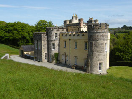 Cor Castlecountry house · 80 yd
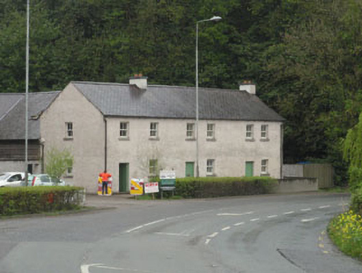 The Forgehouse · 250 yd
 Monterey CypressMonterey Cypress · 290 yd
 Innishannon WoodsPicnic place · 344 yd
 Dromkeen WoodWood · 390 yd
 Tower (in Ruins)Designed landscape, belvedere · 705 yd
 Downdaniel Castle (in Ruins)Castle, tower house · 738 yd
 Kilpadder Burial Gd (Site of)Burial ground · 1732 yd
 Carrighnassig Castle (Site of)Castle, unclassified · 2.3 mi
 Marie LouiseWreck · 2.6 mi
 Carbury's WellSpring · 2.6 mi
 Bandon War MemorialMemorial · 2.8 mi
Other information
Photo: Credit not shown in the picture search · Rights wording not checked; contact us if this picture should be removed