What is recorded here
In improved pasture on a low, natural rise in a low-lying landscape. Roughly circular area (overall diam. 44m) defined by a bank (Wth crest 3m; Wth at base 4.5m; int. H 0.6m; Ext. H 1.4m-2.05m) with evidence of a external stone revettment, at the base of this revettment there is a slightly sloping berm (Wth 2.4m; H 1.2m) which is enclosed around the base of the monument by a retaining rubble stone wall (H 0.7m) which is appears to be a landscaping feature. The wall is best preserved S-WNW and is lower and partially collapsed into surrounding field WNW-S. The wall seems to be part of a counter revetment S-WNW. The interior is generally level and obscured by overgrowth of bushes. There is a folly (TS052-034002-) in the interior in the E quadrant which has incorporated some architectural fragments (TS052-034003-) while other fragments had been incorporated into the lower revettment wall in the W quadrant and have tumbled downslope from it.
Compiled by: Jean Farrelly
Date of upload: 26 August 2011
The monument record does not grant public access. Check the route and ask the landowner before entering private land.
- What survives
- Recorded monument
Places near here
 Settlement desertedSettlement deserted, medieval · 119 yd
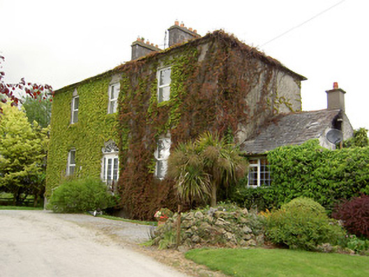 Forte Edwardcountry house · 162 yd
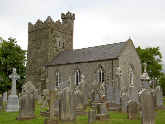 Saint John's Church (Ardmayle)church/chapel · 203 yd
 Grave YardGraveyard · 226 yd
 Ardmayle CastleCastle · 227 yd
 Castle in RuinsCastle, tower house · 276 yd
 Ballyknock HillMountain / peak · 3.1 mi
 Rock of CashelHeritage attraction · 3.4 mi
 Hore AbbeyHeritage attraction · 3.4 mi
 The Rock Of CashelVisitor information · 3.4 mi
 Black mulberryBlack mulberry · 3.6 mi
 European ashEuropean ash · 4.0 mi