What is recorded here
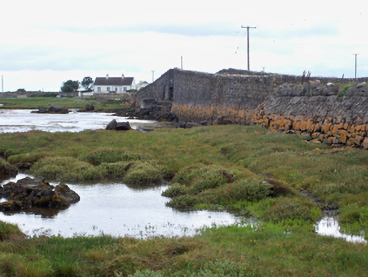
At the W end of the low-lying Ardfry peninsula in Galway Bay. An extensive 0.15m thick deposit, mainly of oyster shell with some periwinkle, is revealed in section along N shore of the peninsula and is treaceable for c. 800m at an average depth of c. 0.25m below present ground surface. Some shell is also visible to the W and SE of Loughaunascalia, where it has been exposed by burrowing rabbits, and along the S shoreline to the S of the folly (GA094-002----). The extent of the deposit suggests that the entire W end of this peninsula was once carpeted with shell. (Holt 1912, 250)
Compiled by: Galway Archaeological Survey, UCG
Date of upload: 3 March 2017
The monument record does not grant public access. Check the route and ask the landowner before entering private land.
- What survives
- Recorded monument
Places near here
 Ardfry PointHeadland · 486 yd
 ToberbrenanHoly well · 1432 yd
 bridgebridge · 1592 yd
 St. Brendans WellHoly well · 1691 yd
 Castle (in Ruins)Castle, tower house · 1702 yd
 Ardfry Ho.Country house · 1.0 mi
 Goose IslandIslet · 1.1 mi
 InishcorraIslet · 1.2 mi
 Plumbtree FortArchaeological place · 1.3 mi
 Leadmine HillMountain / peak · 1.4 mi
 West WoodWood · 1.5 mi
 CastleCastle, tower house · 1.9 mi