What is recorded here
Indicated is a small promontory fort projecting into Bantry Bay, County Cork, where the sea has already erased most of its interior. What remains is a curved bank rising two point seven metres above an external fosse one point four metres deep, overgrown and exposed to the weather. People may have stood there watching ships, marking distance or claiming the edge of the land before the bay took the rest back.
Small area of land barely projecting SW into Bantry Bay. Overgrown section of curved bank (H 2.7m) with external fosse (D 1.4m); interior almost completely eroded by sea.
The above description is derived from the published 'Archaeological Inventory of County Cork. Volume 1: West Cork' (Dublin: Stationery Office, 1992). In certain instances the entries have been revised and updated in the light of recent research.
Date of upload/revision: 14 January 2009
The monument record does not grant public access. Check the route and ask the landowner before entering private land.
- What survives
- Recorded monument
Places near here
 Ardnamanagh PointHeadland · 615 yd
 Ardnatrush ViewViewpoint · 617 yd
 Reenagough PointHeadland · 835 yd
 Megalithic structure in Ardaturrish MoreMegalithic structure · 855 yd
 Burial ground in ArdnamanaghBurial ground · 1031 yd
 Willow-leaf podocarpWillow-leaf podocarp · 1101 yd
 Dawn RedwoodDawn Redwood · 1103 yd
 Seaview Cottagehouse · 1234 yd
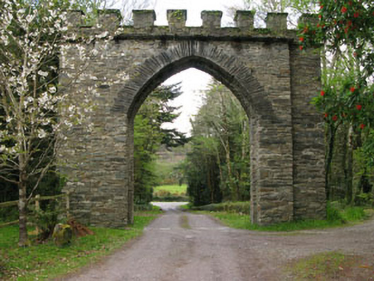 archarch · 1.0 mi
 Horse IslandIslet · 1.6 mi
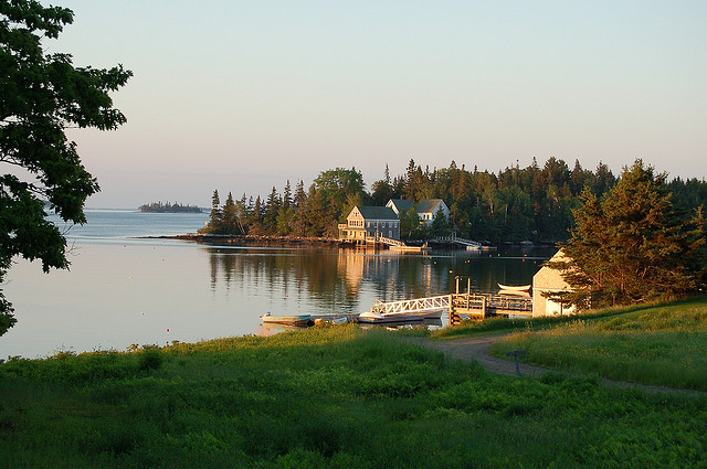 Hog IslandIslet · 1.7 mi
 Snave StrandBeach / strand · 1.9 mi