What is recorded here
In the S sector of an ecclesiastical enclosure (TS074-010----) known as St. Berrihert's Kyle and incorporated in an oval stone enclosure, stepped internally, built by the OPW in 1946 (Ó hÉailidhe 1967, 102). This slab is referred to by Ó hÉailidhe (1967, 110) as slab 4, and was 'built into face of wall', however, this slab could not be located at time of inspection (24 June 2003). The slab tapers (H 0.76m; Wth at top 0.22m; Wth at base 0.18m; T 0.08m). According to Ó hÉailidhe (ibid. 110) this was composed of grey sandstone (dims 0.46m x 0.23m; T 0.06m), 'rounded at the top and at one side of the bottom (the other corner is broken, but does not seem to have been rounded). The slab is bordered and bears an outlined ringed cross with pointed shaft and irregular rounded hollows in the angles. The arms, head, and shaft of the cross, which is borkered, cut across the ring. The background within the ring is sunk 5mm. The back of the stone cannot be seen'. This slab is currently unlocated.
Compiled by: Jean Farrelly
Date of upload: 02 July 2014
Probably dates to the early medieval period, associated with Christian worship or commemoration. Likely linked to the cult of St. Berrihert, a 6th-century Irish saint, and may have served as a marker or monument within a monastic or burial site.
The monument record does not grant public access. Check the route and ask the landowner before entering private land.
- What survives
- Recorded monument
Places near here
 Hut site in ArdaneHut site · 1168 yd
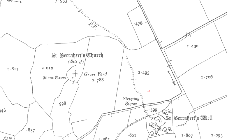 St. Berraherts WellRitual site, pond · 1666 yd
 Laghtshanaquilla North-East TopMountain / peak · 1.1 mi
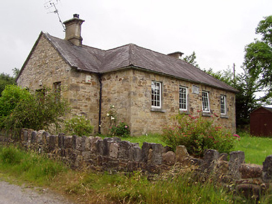 Ardane National Schoolschool · 1.2 mi
 SturrakeenMountain / peak · 1.2 mi
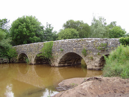 Ashgrove Bridgebridge · 1.4 mi
 Glengarra WoodWood · 1.8 mi
 Ballydavid WoodWood · 1.9 mi
 Cappa Castle (in ruins)Castle, tower house · 2.4 mi
 Cashlaunbeg (in ruins)Bawn · 2.4 mi
 Christ the KingViewpoint · 4.3 mi
 The RockViewpoint · 4.4 mi