
What is recorded here
Listed as Ardane (Costello 2016, 98; Costello 2016, 311) and described as a poorly-preserved earthen-walled hut site (ext. dims. c. 4m x 4m), located on steep, rocky, bracken-covered, west-facing slope.
See attached photograph courtesy of Dr. Eugene Costello
Compiled by: Dr Eugene Costello
Date of upload: 26 August 2020
The monument record does not grant public access. Check the route and ask the landowner before entering private land.
- What survives
- Recorded monument
Places near here
 FarbreagaMountain / peak · 1.2 mi
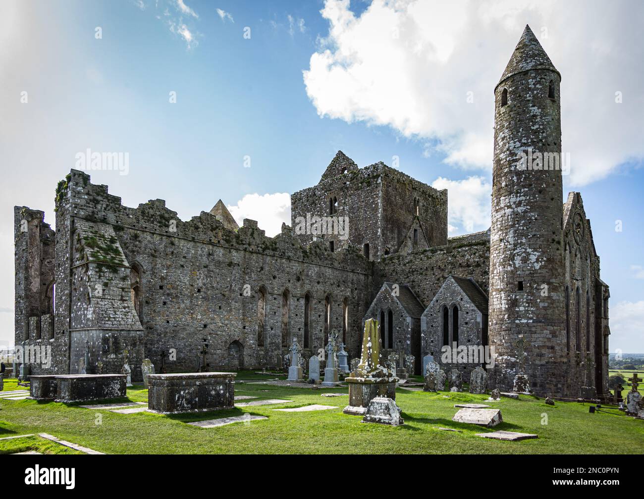 KnockastakeenMountain / peak · 1.2 mi
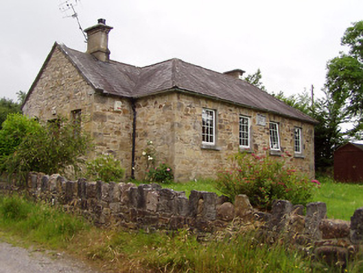 Ardane National Schoolschool · 1.3 mi
 CrossCross, High cross · 1.4 mi
 Site of St.Berriherts Church; Grave YardChurch · 1.4 mi
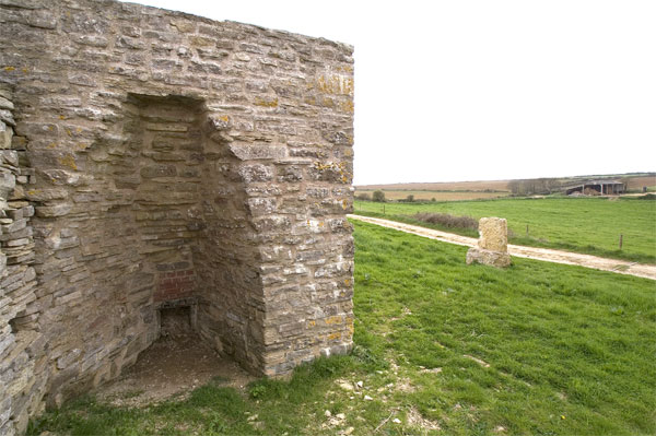 KilnKiln, lime · 1.7 mi
 O'Loughman's CastleRuins · 2.2 mi
 Ballydavid WoodWood · 2.5 mi
 Glengarra WoodWood · 2.5 mi
 Cappa Castle (in ruins)Castle, tower house · 3.0 mi
 Aircraft Memorial 1976Memorial · 3.8 mi
 Christ the KingViewpoint · 3.9 mi
Other information
Photo: Credit not shown in the picture search · Rights wording not checked; contact us if this picture should be removed