What is recorded here
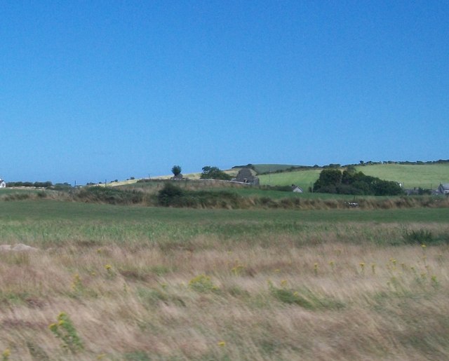
Three Forth's Hill in Ballyfinragh, County Down, may hide a rath beneath its soil. The uncertain period leaves the hill open to imagination, perhaps a boundary marker, a seasonal camp or a forgotten dwelling. Its name suggests distance, repetition and direction, as if people measured the landscape in thirds rather than feet. The hill may have been a place for watching, waiting or remembering long before it became a point on a map.
The official Northern Ireland record identifies this as AP Cropmark- Possible rath at "Three Forth's Hill". Recorded period: UNCERTAIN. The official map point was placed at the centre of the recorded archaeological site from the source map reference.
The monument record does not grant public access. Check the route and ask the landowner before entering private land.
- What survives
- Recorded monument
Places near here
 ENCLOSURE in BallywardENCLOSURE · 1248 yd
 TWO EARLY CHRISTIAN CHURCHES: CHURCHES OF DERE in DerryTWO EARLY CHRISTIAN CHURCHES: CHURCHES OF DERE · 1.0 mi
 Corrog WoodWood · 1.1 mi
 TOWER-HOUSE: CASTLEBOY in CastleboyTOWER-HOUSE: CASTLEBOY · 1.2 mi
 CHURCH (in ruins) in CastleboyCHURCH (in ruins) · 1.2 mi
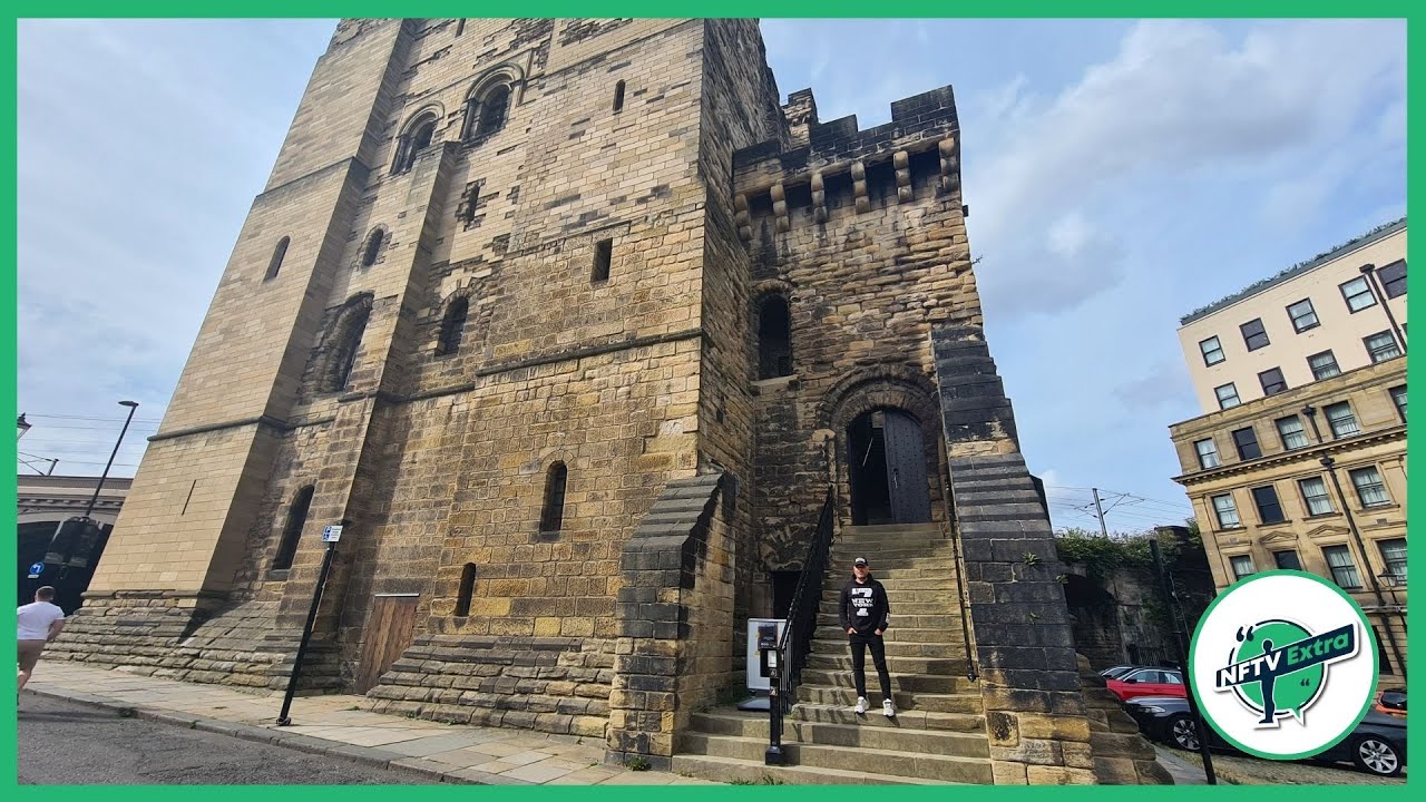 CASTLE in NewcastleCASTLE · 1.6 mi
 FORTIFIED HOUSE & BAWN: THE WHITE HOUSE in BallyspurgeFORTIFIED HOUSE & BAWN: THE WHITE HOUSE · 1.8 mi
 Pherson's IslandIsland · 2.0 mi
 CHURCH & GRAVEYARD & COFFIN LIDS (2): ARDKEEN CHURCH in ArdkeenCHURCH & GRAVEYARD & COFFIN LIDS (2): ARDKEEN CHURCH · 2.3 mi
 Kearney Coastal Walk, KearneyWalking route · 2.4 mi
 MEDIEVAL CHURCH & GRAVEYARD: BALLYTRUSTAN; THRUSTAYNISTONE in BallytrustanMEDIEVAL CHURCH & GRAVEYARD: BALLYTRUSTAN; THRUSTAYNISTONE · 2.6 mi
 Ballyhenry IslandIslet · 2.8 mi