What is recorded here
Dei Sei is a privateer sailing vessel lost off County Antrim in 1782, now resting at 22m depth. By 1993, cannon had been located and removed from the wreck. What remained was hull, ballast and the shape of a violent journey ended by seawater.
The official Northern Ireland wreck record identifies Dei Sei as Sailing vessel [privateer]. It was lost in 1782. Recorded depth: 22m. Recorded condition: 1993 - cannon located and removed.
Dei Sei was a privateering sailing vessel lost in 1782 off the coast of Northern Ireland. It sank with no reported loss of life, and its remains, including a recovered cannon, lie at a depth of 22 metres.
A wreck point does not grant access or permission to dive, enter land, disturb the site or recover anything. Check current law and local conditions first.
Places near here
 MULTI-PERIOD CASTLEMULTI-PERIOD CASTLE, C15th-POST-MEDIEVAL, with ROCK-CUT Man-made underground passage: DUNLUCE CASTLE · 1565 yd
 Mermaid CaveCave · 1583 yd
 Dunluce CastleHeritage attraction · 1592 yd
 Promontory Fort in MagheracrossPromontory Fort · 1607 yd
 Enclosure/Rath in DunluceEnclosure/Rath · 1.1 mi
 White RocksVisitor information · 1.3 mi
 Large SkerriesIslet · 1.4 mi
 C18TH HOUSE on site of C17TH CASTLE in BallymagarryC18TH HOUSE on site of C17TH CASTLE · 1.4 mi
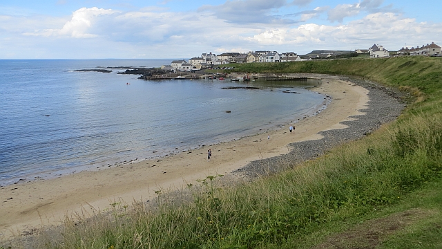 Portballintrae BeachBeach / strand · 1.8 mi
 East StrandBeach / strand · 1.8 mi
 Little SkerriesIslet · 2.0 mi
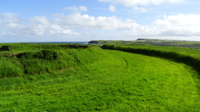 Lissanduff EarthworksNature reserve · 2.1 mi