What is recorded here
In improved pasture 230m W of Lough Gur. Grange stone circle (LI032-004001-) lies 100m to W, two stone circles (LI032-005/006----) located in the adjoining field to N and structure (LI032-319----) 35m to NW. Not depicted on OSi maps. Identified in 2008 as a series of discrete, negative magnetic anomalies that form a circle measure 13m in diameter, labelled Feature 5 in Area 1 (fluxgate gradiometer survey) and tentatively described as possible ‘remains of small stone circle or, possibly some form of megalithic structure’ (Cleary 2008, 39-40). Visible as circular-shaped cropmark on Google Earth orthoimage dated 07/05/2006. No surface remains visible on OSi orthophoto taken between 2005-12 or on Google Earth orthoimage dated 20/09/2020.
See attached location maps of Geophysical Survey taken from Cleary 2008
Compiled by: Martin Fitzpatrick
Date of upload: 2 April 2021
The monument record does not grant public access. Check the route and ask the landowner before entering private land.
- What survives
- Recorded monument
Places near here
 Structure in Grange (smallcounty By.)Structure · 43 yd
 Cladh na LeacRoad, road/trackway · 143 yd
 Grange Stone CircleArchaeological place · 153 yd
 Stone CirclesStone circle, embanked · 154 yd
 Lough GurVisitor information · 219 yd
 Bawn in Grange (smallcounty By.)Bawn · 654 yd
 Garret IslandCastle, unclassified · 689 yd
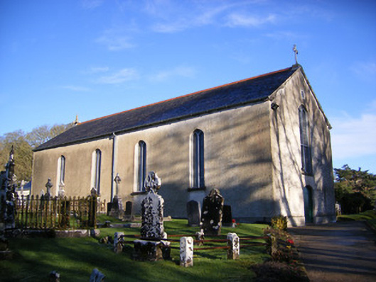 Catholic Church of Saint Patrick and Saint Brigidchurch/chapel · 725 yd
 Pedunculate OakPedunculate Oak · 1546 yd
 The SpectaclesVisitor information · 1.0 mi
 Lough Gur Heritage CentreVisitor information · 1.0 mi
 Glen BogForest · 2.1 mi