What is recorded here
In rough pasture of heather and grass, located on a natural rise 16m SE of a cashel (MA033A003001-) in the centre of Duvillaun More island, and 70m SE of a cluster of ruined 19-century houses.
This anomalous stone group consists of a narrow box-like setting of stones. The long sides are formed by a pair of parallel upright slabs, aligned E-W, set 0.4m apart. The north slab (L 0.9m; T .007m; H 0.89m) is the largest. The S slab is of similar length, but is shorter and roughly triangular in shape. It leans toward the N slab. Two smaller stones, one at either end of the larger slabs, and set perpendicular to them, complete the box-like effect. Another stone (L 0.68m; H 0.47m), aligned N-S, abuts the W end of the N slab. The function and date of this feature is unclear. It is located within a system of small fields enclosing cultivation ridges, which are associated with the 19th-century settlement on the island.
Compiled by: Jane O'Shaughnessy
Date of upload: 27 February 2018
The monument record does not grant public access. Check the route and ask the landowner before entering private land.
- What survives
- Recorded monument
Places near here
 Church in Dubhoileán MórChurch · 32 yd
 Dubhoileán MórIsland · 283 yd
 Promontory fortPromontory fort, coastal · 523 yd
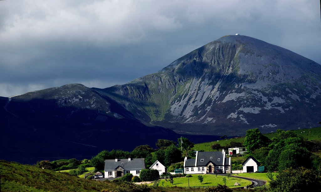 Holy WellHoly well · 967 yd
 Droim an ChapaillIslet · 1268 yd
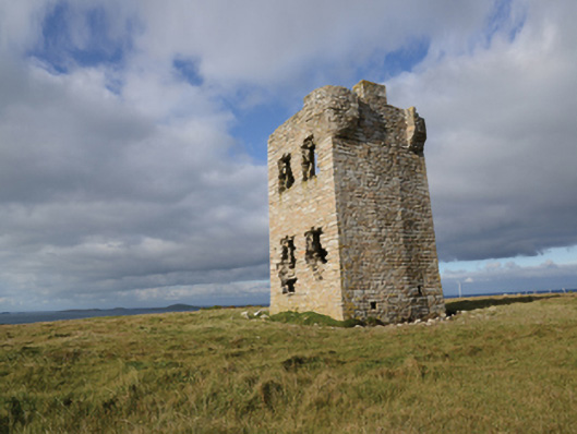 Glash Signal Towersignal tower · 2.7 mi
 Termon BeachBeach / strand · 4.2 mi
 AskilgubroenacoraghHeadland · 4.2 mi
 Saddle HeadHeadland · 4.2 mi
 Annagh StrandBeach / strand · 5.4 mi
 Site of Redmond Barretts CastleCastle, unclassified · 5.4 mi
 SlievemoreMountain / peak · 6.3 mi