What is recorded here
In the sand-dunes on S side of An Trá Mhór. Described by Kilbride (1868, 117) as 'An old stone called the cross (Cros an fhéuir), which then [in Cromwell's time] served as a boundary mark'. This appears to be synonymous with the 'Liagaitreabh' marked on his map (ibid., facing 102), though this is not explicity stated in the text. Westropp (1895, 264-5) notes this as 'a structure resembling a cromlech'. No visible surface trace survives.
The above description is derived from the published 'Archaeological Inventory of County Galway Vol. I - West Galway'. Compiled by Paul Gosling (Dublin: Stationery Office, 1993).
Date of upload: 05 August 2010
The monument record does not grant public access. Check the route and ask the landowner before entering private land.
- What survives
- Recorded monument
Places near here
 St. Columbkills AltarEnclosure · 107 yd
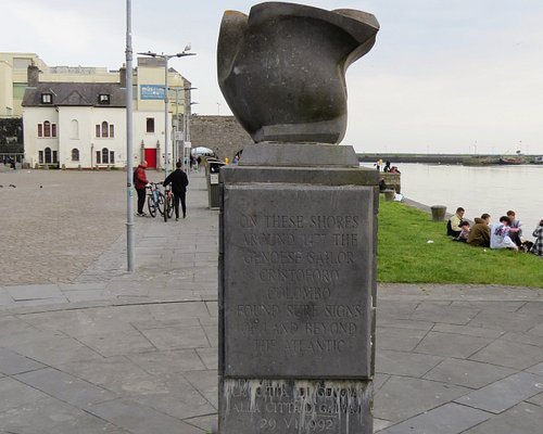 MonumentsLeacht cuimhne · 108 yd
 monumentmonument · 147 yd
 school master's houseschool master's house · 160 yd
 Arkin's CastleCastle · 633 yd
 Teampall BheanáinHeritage attraction · 838 yd
 Leaba Naomh RónáinHeritage attraction · 1.0 mi
 Trá na mBuailte (Beach of the Booly)Beach / strand · 1.5 mi
 Oileán na TuíIslet · 1.6 mi
 An CharcairMountain / peak · 2.3 mi
 ÁrainnIsland · 2.7 mi
 Seal Colony LookoutViewpoint · 2.7 mi