
What is recorded here
Enclosure in Anneville or Rathduff is an enclosure in Anneville or Rathduff, County Westmeath, Ireland. The site lies in grassland overlooking a stream to the north, which forms the townland boundary with Gorteen. A ringfort is located 220 metres to the south and another ringfort is 440 metres to the west. A 2011 to 2013 aerial photograph shows the outline of a circular-shaped area with an approximate diameter of 30 metres.
In grassland, overlooking stream to N which forms townland boundary with Gorteen. Ringfort (WM026-061----) 220m to S, ringfort (WM026-060----) 440m to W. Outline of circular-shaped area (approx. diam. 30m) visible on Digital Globe orthophoto taken 2011-13.
Compiled by: Caimin O’Brien
Date of upload: 17 June 2020
The monument record does not grant public access. Check the route and ask the landowner before entering private land.
- What survives
- Recorded monument
Places near here
 OutlinedFairy fort / earthen ringfort · 290 yd
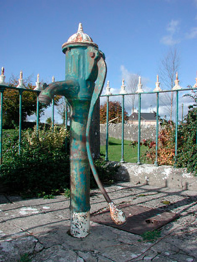 water pumpwater pump · 703 yd
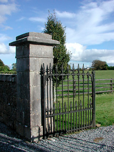 Gaybrook Housedemesne walls/gates/railings · 741 yd
 Not idicatedMan-made underground passage · 769 yd
 Castle in RuinsCastle, tower house · 1358 yd
 Bawn in Simonstown (fartullagh By.)Bawn · 1.2 mi
 Belvedere house and gardensVisitor information · 1.8 mi
 Mollie Moo's Pet FarmHeritage attraction · 1.9 mi
 Dysart IslandIsland · 3.6 mi
 Ash IslandIslet · 3.7 mi
 United Nations War MemorialMemorial · 4.4 mi
 GinkgoGinkgo · 9.4 mi
Other information
Photo: Credit not shown in the picture search · Rights wording not checked; contact us if this picture should be removed