What is recorded here
A roughly circular enclosure (diam. c. 40-45m) identified as the cropmark of a fosse on an aerial photograph (GB89.S.30; 13 July 1989) and also faintly visible on satellite imagery (OS Ortho, viewed 9 September 2021). A meandering modern field boundary runs roughly NW-SE just outside the NE sector.
See attached:
KK023-119----_01 satellite imagery (OS Ortho, viewed 9 September 2021)
Compiled by: Jean Farrelly and Dr. Gillian Barrett for the Archaeological Survey of Ireland
Date of revised upload: 9 September 2021
The monument record does not grant public access. Check the route and ask the landowner before entering private land.
- What survives
- Recorded monument
Places near here
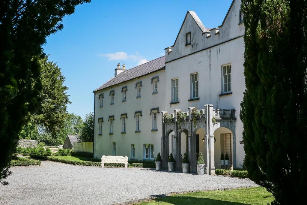 Enclosure in AnnamultEnclosure · 361 yd
 Annamult Castle (in ruins)Castle, tower house · 838 yd
 Tower (in ruins)Bawn · 841 yd
 Welsh'sForest · 920 yd
 IndicatedEnclosure · 1088 yd
 Danesfort Housefolly · 1400 yd
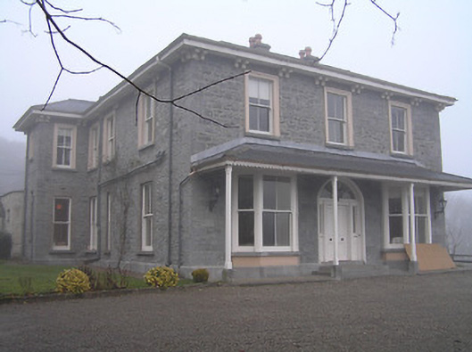 Crohana Housecountry house · 1524 yd
 Cats WoodWood · 1.1 mi
 Danesfort CrossMemorial · 1.6 mi
 Ballyda Holy WellSpring · 1.7 mi
 Petty Sessions Courthouse 1839Memorial · 2.1 mi
 Kells Priory Mill MuseumMuseum · 2.9 mi