
What is recorded here
In tillage. A curvilinear enclosure (diam. c. 50m) identified as the cropmark of a fosse on an aerial photograph (CUCAP BGG006, 16 July 1971). The N portion of the enclosure is more pronounced on the aerial photograph and it is this portion which is indicated on the 1st (1839) ed. OS 6-inch map, and the 1948 revision, as a curvilinear field boundary, the former edition showing smaller fields within it. A road runs NE-SW through the interior of the monument. There are three other enclosures, also visible as cropmarks in this aerial photograph, in the immediate vicinity, KK027-007----; KK027-008---- which lie c. 190m and c. 130m to the NW respectively and KK027-087---- which lies c. 130m to the WNW.
See attached:
KK027-087----_01 aerial photograph (CUCAP BGG006, 16 July 1971)
Compiled by: Jean Farrelly
Date of upload: 4 July 2022
A local fairy fort (ringfort/rath); wider significance not recorded.
The monument record does not grant public access. Check the route and ask the landowner before entering private land.
- What survives
- Recorded monument
Places near here
 Enclosure in AnnamultEnclosure · 357 yd
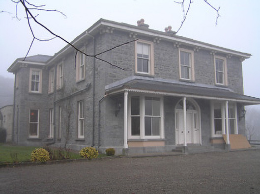 Crohana Housecountry house · 796 yd
 Church (in ruins)Church · 1088 yd
 Annamult Castle (in ruins)Castle, tower house · 1172 yd
 Tower (in ruins)Bawn · 1213 yd
 Enclosure in KnockanoreEnclosure · 1244 yd
 Welsh'sForest · 1.1 mi
 MarlowWood · 1.4 mi
 Site of Village Well 1810-1950Memorial · 1.8 mi
 Police Barracks 1839Memorial · 1.8 mi
 Kells Augustinian PrioryHeritage attraction · 2.9 mi
 Kells Priory Mill MuseumMuseum · 3.0 mi
Other information
Photo: Credit not shown in the picture search · Rights wording not checked; contact us if this picture should be removed