What is recorded here
Discovered prior to road construction (Excavation Licence No. 04E1161). Two spreads of charcoal-rich clay and heat shattered stones were initially uncovered (Walsh 2005, 7-8). One spread (dims 3.25m x 9.25m; D 0.17m) contained a broken flint blade but did not seal any features. The second spread (dims 9m x 7.5m; D 0.15m) sealed two sub-rectangular pits (2.3m x 1.7m; D 0.25m) which represented the remains of troughs. Charcoal from the burnt stone fill of one of the troughs produced a C14 determination of 1690-1490 Cal. BC (Walsh 2009, 9-10). (Walsh F. 2007, 354)
Date of revised upload: 5 December 2017
The monument record does not grant public access. Check the route and ask the landowner before entering private land.
- What survives
- Recorded monument
Places near here
 Fulacht fia in Annahagh (monaghan By; Monaghan Par.)Fulacht fia · 89 yd
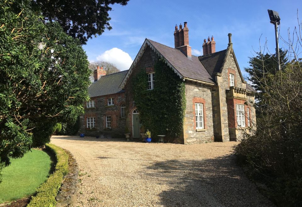 Fulacht fia in TullyhirmFulacht fia · 562 yd
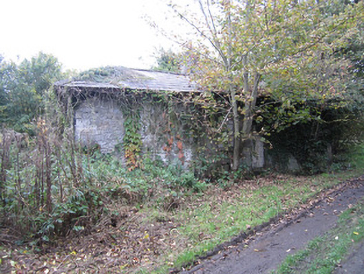 lock keeper's houselock keeper's house · 704 yd
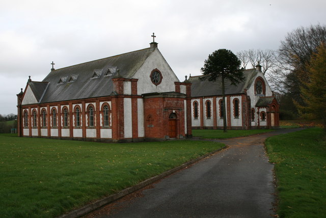 Saint Davnet's Hospitalchurch/chapel · 867 yd
 Monaghan County MuseumMuseum · 1430 yd
 Rossmore MonumentMemorial · 1575 yd
 Bawn in Roosky (monaghan By., Monaghan Par.)Bawn · 1593 yd
 Caldwells' WoodWood · 1.0 mi
 The Nut WoodForest · 1.1 mi
 The BarnHeritage attraction · 2.3 mi
 Castleshane WaterfallWaterfall · 3.0 mi
 Rough HillMountain / peak · 4.7 mi