What is recorded here
Slightly hump-backed road bridge (Wth c. 3m; long axis NE-SW) over Awbeg River; site of castle (14279) c. 80m to NE. Two segmental arches (span c. 2.4m) with rough limestone voussoirs; central pier and arch to W have been repaired, cement cutwater added. Widened on upstream side (NW) by c. 3.9m. Vertical stone coping atop parapet; badly weathered plaque in SE parapet wall reads 'Wm Flyn M../ Built this Bridge/for £60 .../1811'.
The above description is derived from the published 'Archaeological Inventory of County Cork. Volume 4: North Cork' (Dublin: Stationery Office, 2000). In certain instances the entries have been revised and updated in the light of recent research.
Date of upload/revision: 14 January 2009
The monument record does not grant public access. Check the route and ask the landowner before entering private land.
- What survives
- Recorded monument
Places near here
 Annagh Bridgebridge · 1 yd
 Castle (Site of)Castle, unclassified · 89 yd
 Kilgrogan Grave YardGraveyard · 546 yd
 TumulusMound · 712 yd
 Windmill HillMountain / peak · 1200 yd
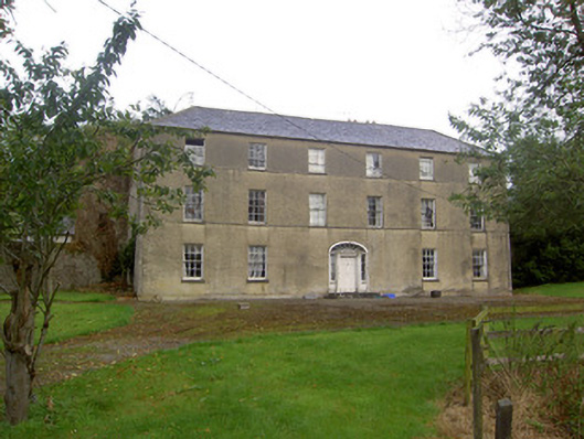 Churchtown Housecountry house · 1.2 mi
 Ballyhoura WayWalking route · 1.4 mi
 CastleCastle, motte · 2.1 mi
 Churchtown TrailsVisitor information · 2.7 mi
 Battle of LiscarrollMajor battlefield · 3.5 mi
 Buttevant Rail DisasterMemorial · 4.2 mi
 Lady's WellSpring · 4.3 mi