What is recorded here
In pasture 270m E of a roadway that marks the townland boundary with Lackendarragh. Possible linear earthwork (LI057-041----) lies 85m to SW. Not marked on OSi maps. Fulacht fiadh excavated in 1986 during works associated with the gas pipeline (Gowen 1988, 179; BGE No. 2623). No surface remains visible on Google Earth orthoimages.
Compiled by: Martin Fitzpatrick
Date of upload: 20 November 2021
The monument record does not grant public access. Check the route and ask the landowner before entering private land.
- What survives
- Recorded monument
Places near here
 Linear earthwork in AnglesboroughLinear earthwork · 91 yd
 ExcavationExcavation, miscellaneous · 447 yd
 Massy Lodgecountry house · 882 yd
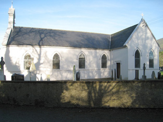 Saint Patrick's Catholic Churchchurch/chapel · 931 yd
 Paradise HillMountain / peak · 1399 yd
 Combaun WoodsViewpoint · 1440 yd
 Site of CastleCastle, unclassified · 1.2 mi
 Temple HillMountain / peak · 1.7 mi
 Assaroula WaterfallWaterfall · 2.1 mi
 Site of Castle, Castle FieldCastle, unclassified · 3.3 mi
 John MandevilleMemorial · 4.8 mi
 Mitchelstown Town MapVisitor information · 4.8 mi