
What is recorded here
In pasture 130m E of a roadway that marks the townland boundary with Lackendarragh. Fulacht fia (LI057-043----) lies 140m to NW. Not depicted on OSi maps. Truncated pits excavated in 1986 during works associated with the gas pipeline (Gowen 1988, 179). No surface remains visible on Google Earth orthoimages.
Compiled by: Martin Fitzpatrick
Date of upload: 21 November 2021
The monument record does not grant public access. Check the route and ask the landowner before entering private land.
- What survives
- Recorded monument
Places near here
 Linear earthwork in AnglesboroughLinear earthwork · 404 yd
 EnclosureEnclosure, large enclosure · 672 yd
 Combaun WoodsViewpoint · 1200 yd
 Massy Lodgecountry house · 1298 yd
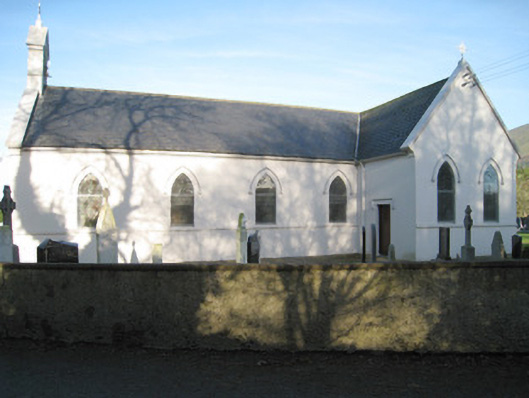 Saint Patrick's Catholic Churchchurch/chapel · 1323 yd
 Paradise HillMountain / peak · 1.0 mi
 Site of CastleCastle, unclassified · 1.4 mi
 Temple HillMountain / peak · 1.7 mi
 Assaroula WaterfallWaterfall · 2.2 mi
 Site of Castle, Castle FieldCastle, unclassified · 3.5 mi
 John MandevilleMemorial · 4.6 mi
 Mitchelstown Town MapVisitor information · 4.6 mi
Other information
Photo: Credit not shown in the picture search · Rights wording not checked; contact us if this picture should be removed