
What is recorded here
In pasture on summit of Knockmagh. Enclosure (LI057-057----) lies 60m to the N. Not depicted on OSi historic maps. Identified as a possible enclosure on Bórd Gáis Éireann Curraleigh West-Limerick gas pipeline aerial photographs (Strip Map 2, Site 2/5) taken 03/11/1984 where described as follows; Summit of the hill of Knockmagh enclosed by a low bank on one side. Traces of large curvilinear earthwork enclosing N side of Knockmagh Hill visible on Digital Globe orthoimage taken between 2011-13. Curvilinear earthwork visible on Google Earth orthoimage taken 18/11/2018.
See attached Google Earth orthoimages.
Compiled by: Martin Fitzpatrick
Date of upload: 20 November 2021
A local fairy fort (ringfort/rath); wider significance not recorded.
The monument record does not grant public access. Check the route and ask the landowner before entering private land.
- What survives
- Recorded monument
Places near here
 ExcavationExcavation, miscellaneous · 672 yd
 Linear earthwork in AnglesboroughLinear earthwork · 1040 yd
 Combaun WoodsViewpoint · 1337 yd
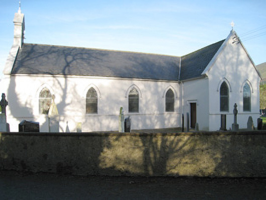 Saint Patrick's Catholic Churchchurch/chapel · 1.1 mi
 Massy Lodgecountry house · 1.1 mi
 Paradise HillMountain / peak · 1.4 mi
 Site of CastleCastle, unclassified · 1.6 mi
 Ballyarthur HillMountain / peak · 1.7 mi
 Assaroula WaterfallWaterfall · 2.5 mi
 Site of Castle, Castle FieldCastle, unclassified · 3.7 mi
 John MandevilleMemorial · 4.2 mi
 Mitchelstown Town MapVisitor information · 4.2 mi
Other information
Photo: Credit not shown in the picture search · Rights wording not checked; contact us if this picture should be removed