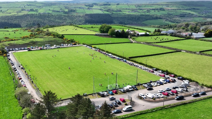
What is recorded here
Anbally is a lost farm in West Galway, not a ghost story. A tower house stands above it, two collapsed houses lie in the pasture, and broken field walls still mark the shape of daily life. People grew food, kept animals and died there, while others forgot the names and left the stones under grass.
In undulating pastureland, some 200m to SW of tower house (GA057-001----). Several grassed-over collapsed field walls and traces of two collapsed houses (L 8m, Wth 5m) are visible. The field system covers an area c. 400m E-W by c. 350m N-S. (CUCAP ATF 15; ASGAP 167:74-5)
The above description is derived from the published 'Archaeological Inventory of County Galway Vol. II - North Galway'. Compiled by Olive Alcock, Kathy de hÓra and Paul Gosling (Dublin: Stationery Office, 1999).
Date of upload: 05 August 2010
The monument record does not grant public access. Check the route and ask the landowner before entering private land.
- What survives
- Recorded monument
Places near here
 Castle (in ruins)Castle, tower house · 505 yd
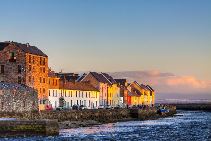 CaheravoleyFairy fort / ringfort · 1176 yd
 St. Cathaldus Church (in ruins)Church · 1542 yd
 Stone CircleFairy fort / stone ringfort · 1.0 mi
 Cregboyne FortBawn · 1.2 mi
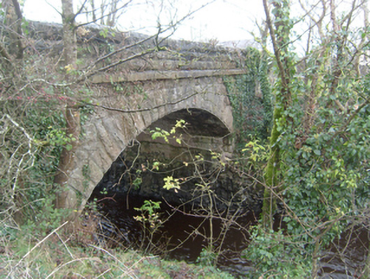 Corrofin Bridgebridge · 2.0 mi
 European BeechEuropean Beech · 3.3 mi
 Cregg Castle DemesneForest · 3.8 mi
 Kilcoona Round TowerHeritage attraction · 6.1 mi
 Ballinduff BayBay · 6.8 mi
 Mass RockNamed rock · 7.9 mi
 Oileán an AoilIsland · 8.6 mi
Other information
Photo: Credit not shown in the picture search · Rights wording not checked; contact us if this picture should be removed