
What is recorded here
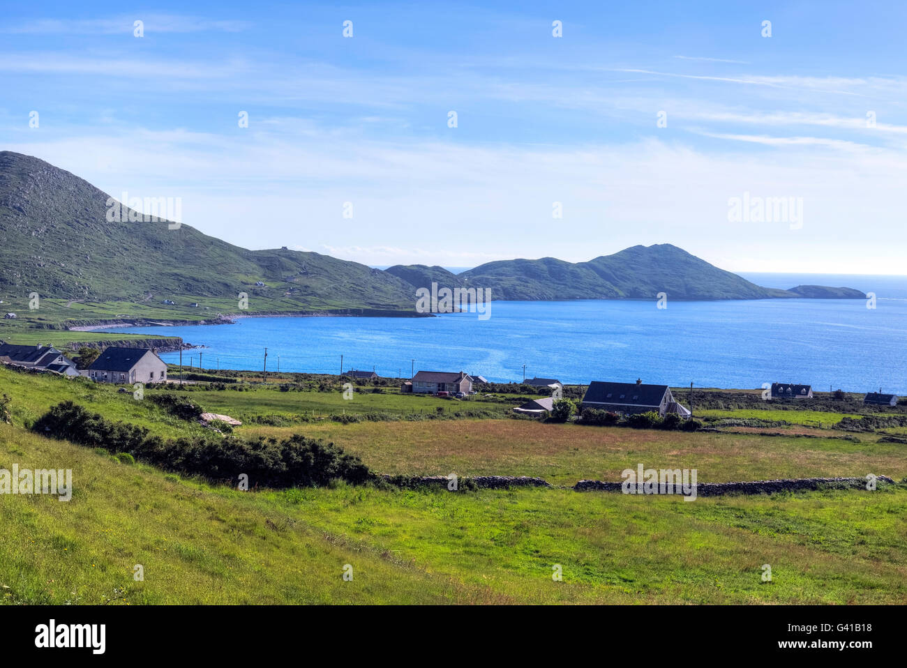
Calf Cove in County Kerry, Ireland, holds a broken ringfort where two slabs still stand like sentinels at the seaward edge. The northern pillar reaches 1.55 metres while the southern leans north at 1.4 metres, separated by barely a metre. Whatever chamber the old survey imagined beside them has vanished, leaving only a faint bank and the suggestion that people once shaped this cove into a defensible home.
This site is marked as a semicircular outline on the first edition of the OS map, and is located at the SE end of Calf Cove. It is named 'Caher' on the OS Fair Plan, which also depicts a rectangular structure, aligned NE-SW, in its NE sector. The site survives as two upright slabs, .93m apart and aligned E-W. The N pillar is 1.55m high and measures .37m .25m at base. Inclining towards N, the S pillar stands 1.4m high and is .33m .25m at base. A barely perceptible bank extends a short distance from each pillar and there is no visible trace of the rectangular structure.
The above description is derived from A. O'Sullivan and J. Sheehan (compilers), 'The Iveragh peninsula: an archaeological survey of South Kerry'. Cork University Press (1996), no. 687. In certain instances the entries have been revised and updated in the light of recent research.
Date of upload: 29 July 2013
This remains an important historical record, but the official description says the monument is no longer visible or has been destroyed. The monument record does not grant public access. Check the route and ask the landowner before entering private land.
- What survives
- No visible remains or recorded as destroyed
Places near here
 Hog's Head Signal TowerRuins · 743 yd
 Cnoc an StocaMountain / peak · 864 yd
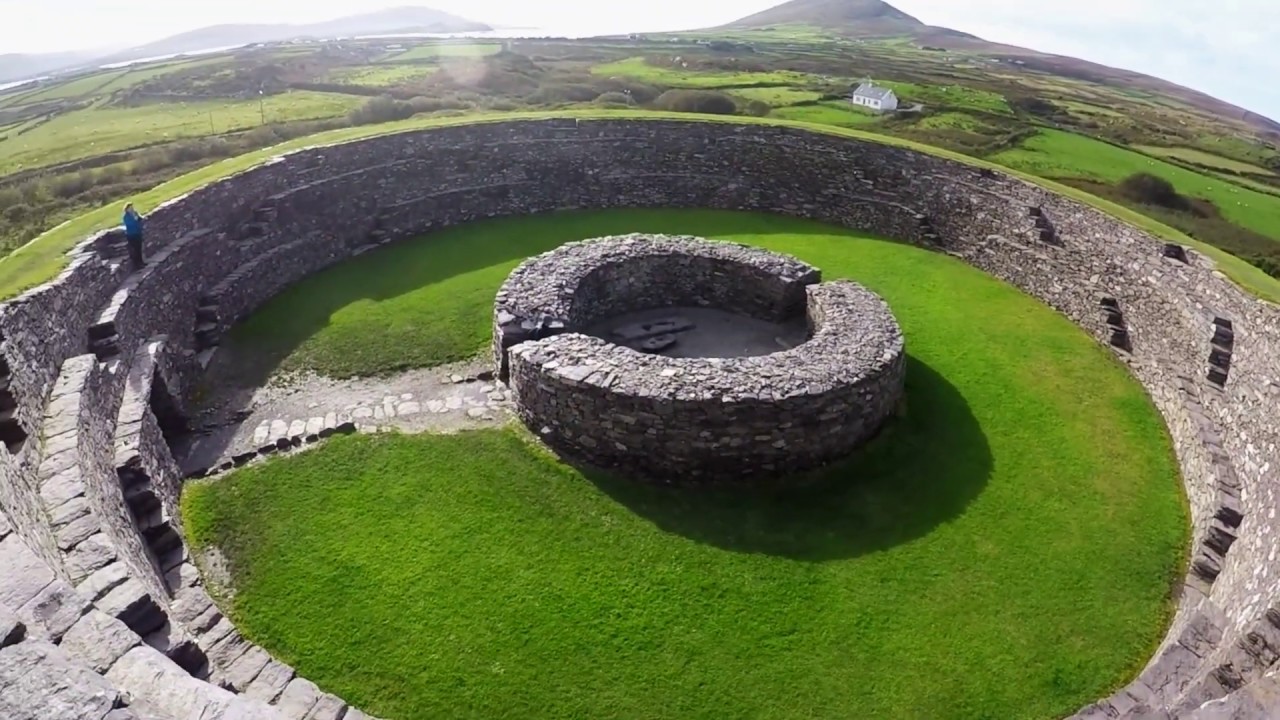 Fairy fort / stone ringfort in An RinnínFairy fort / stone ringfort · 1005 yd
 Cultivation ridges in Com An TsleabhcháinCultivation ridges · 1380 yd
 Pointe Lic an TeampaillHeadland · 1.0 mi
 Binn Uí RuaircMountain / peak · 1.1 mi
 Com An ChisteViewpoint · 1.3 mi
 Church in An LótharChurch · 1.4 mi
 Lamb's IslandIslet · 2.5 mi
 Bá na ScealgBay · 2.7 mi
 Waterville PromenadeWalking route · 2.8 mi
 Derrynane Bay Beach / Trá Bhá Doire FhionáinBeach / strand · 2.8 mi
Other information
Photo: Credit not shown in the picture search · Rights wording not checked; contact us if this picture should be removed