What is recorded here
Doon Point still casts its shadow across Ferriter’s Cove, but the smaller headland beside it may have worn its own hidden ring. A narrow ditch and faint bank suggest the place was cut off from the mainland, perhaps a quiet chamber where people watched the sea or kept what they valued from strangers. The land has since become fertile pasture, yet the old line remains beneath the grass, waiting for rain or memory to draw it out again.
Possible promontory fort described in 2002 as follows; ‘A small west-facing subrectangular headland immediately east of the large multivallate promontory fort at Doon Point juts out 20m into Ferriter’s Cove. It is flanked by a narrow chasm on the north, where a narrow sea-arch gives access to the adjacent land. The headland is not a true promontory. A modern Land Commission type earthen bank follows the cliff edge and crosses the adjacent headland to the north as well as the small headland. A narrow ditch that served as material for this bank runs along the western side of this bank. Running across the headland in question is a 7m wide fosse east of the bank, suggesting that the area may have been cut off from the mainland by a fosse and possibly a bank / wall in the past. The interior shows signs of previous cultivation and the remains of a low perimeter bank are still intermittently visible. The area is one of fertile pasture' (Casey 2002, 22, no. F.).
The monument record does not grant public access. Check the route and ask the landowner before entering private land.
- What survives
- Recorded monument
Places near here
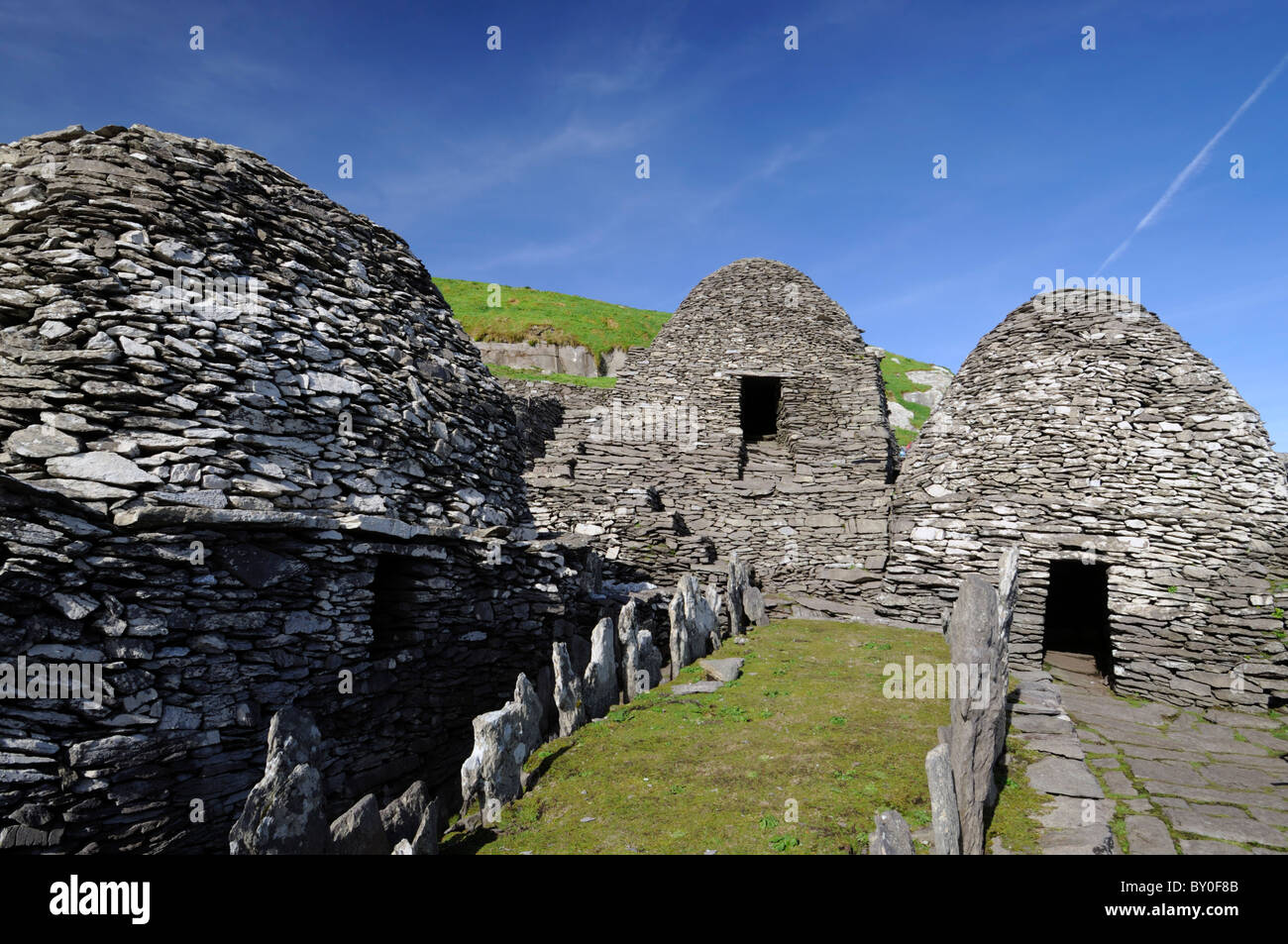 Hut site in An Baile Uachtarach TheasHut site · 394 yd
 Caisleán PhiaraisCastle · 514 yd
 Ferriters Castle (in ruins)Castle, tower house · 523 yd
 Promontory fortPromontory fort, coastal · 581 yd
 CúlfhaillCliff · 955 yd
 Penitential station in Baile An ChalaidhPenitential station · 961 yd
 Ceann an DúnaHeadland · 1184 yd
 An Bhinn BhricMountain / peak · 1653 yd
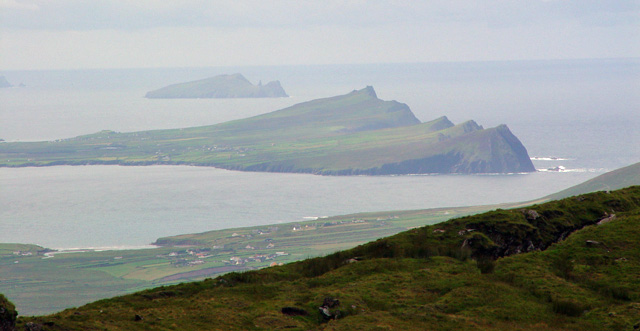 Ceann SibéalMountain / peak · 1662 yd
 Tráigh ChloichirBeach / strand · 1.4 mi
 Dunanoir FortVisitor information · 1.7 mi
 St Brendan's WellSpring · 1.7 mi