What is recorded here
According to the Civil Survey (1654-6) in 1640 in 'Allinhogan' 'The sd. Daniell Hogan & Teige Hogan pprietors in fee by descent from their Ancestors On the sd lands stands a house' (Simington 1934, vol. 2, 45). Based on the Down Survey overlay maps the 17th century townland of 'Allinhogan' appears to correspond with the modern townlands of Alleen (Ryan), Alleen (Hogan) and Gorteen. The house referred to is unlocated within these townlands.
Compiled by: Jean Farrelly
Date of upload: 26 August 2011
The monument record does not grant public access. Check the route and ask the landowner before entering private land.
- What survives
- Recorded monument
Places near here
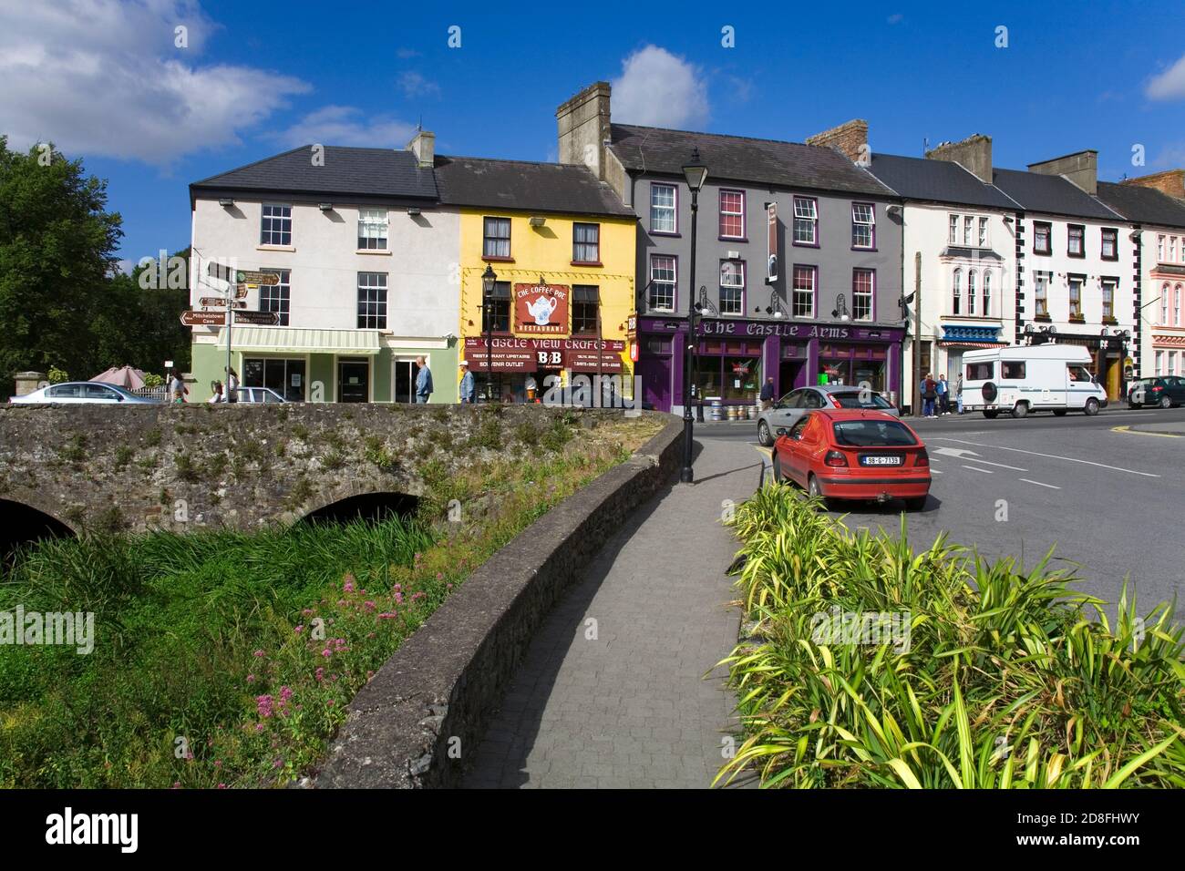 IndicatedEnclosure · 739 yd
 Enclosure in Lisheen (templenoe Par.)Enclosure · 969 yd
 Shanbally fortCastle, ringwork and bailey · 1060 yd
 Old CastleRuins · 1476 yd
 Greenane Housecountry house · 1.1 mi
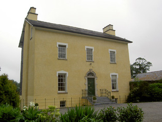 The Gleberectory/glebe/vicarage/curate's house · 1.1 mi
 Soloheadbeg Ambushambush · 1.9 mi
 Soloheadbeg Ambush SiteMemorial · 2.1 mi
 European ashEuropean ash · 2.3 mi
 I.R.A. 3rd. Tipperary Brigade MemorialMemorial · 2.9 mi
 Maudemount BogWood · 3.1 mi
 It's a long way to TippereryHeritage attraction · 3.4 mi