What is recorded here
Indicated is an oval cashel on a narrow western terrace, its tumbled drystone wall still holding a shape that resistance and forgetting have not erased. The steep ridge and rough rock suggest a place chosen for visibility rather than comfort, where a household might have watched weather, traffic, or danger from above. Its field walls and inner house point to ordinary life sustained on difficult ground, not abandoned fantasy.
On a narrow level terrace on the W face of a steep-sided ridge in an area of very rough and overgrown rock outcrop. Not marked on the 1842 ed. of the OS 6-inch map but indicated with a solid line on the 1915 ed. An oval cashel (int. dims. 33m N–S; 30m E–W) defined by a tumbled drystone wall (Wth 1.7–4m; H 0.2–0.9m) with inner and outer facing-stones surviving at E (original wall Wth 1.7m). Occasional outer facing-stones are visible at N and W but the inner facing-stones are largely obscured by collapse. A house of indeterminate date (CL006-009002-) occurs within the W sector. A field wall radiates off the SE, another runs concentric from SE–N outside the cashel and further field walls abut the concentric wall forming a field-system (CL006-009003-) with potentially contemporary elements.
Compiled by: Mary Tunney and Ros Ó Maoldúin
Date of upload: 28 April 2021
Aillwee is a likely early-medieval ringfort, situated on a narrow terrace on the western face of a steep ridge, indicated on the 1915 OS 6-inch map. Local folklore associates such sites with fairy activity, and the name "Aillwee" may derive from the Irish *Áth Luimnigh*, suggesting a crossing or ford linked to legend.
The monument record does not grant public access. Check the route and ask the landowner before entering private land.
- What survives
- Recorded monument
Places near here
 IndicatedEnclosure · 90 yd
 Castle Mael (in ruins)Castle, unclassified · 667 yd
 Enclosure in AillweeEnclosure · 1270 yd
 Turlough CastleArchaeological place · 1744 yd
 Moneen MountainMountain / peak · 1.6 mi
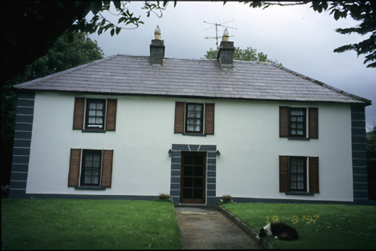 Abbey Househouse · 2.0 mi
 Aillwee Cave Visitor Centreheritage centre/interpretative centre · 2.1 mi
 Aillwee CaveCave · 2.1 mi
 Bird Of Prey CentreHeritage attraction · 2.2 mi
 PoulnabroneMemorial · 3.1 mi
 Gleninshing portal tombHeritage attraction · 3.1 mi
 The Portal TombVisitor information · 3.7 mi