
What is recorded here
Situated on the W bank of the Ollatrim River with a nearby tower house (TN022-035) to the SE. Listed in the ecclesiastical taxation of the Diocese of Killaloe in 1302 (CDI, vol. 5, 302). A long rectangular church (ext. dims. 9.3m N-S; 25.7m E-W; wall T 0.95m) built with roughly coursed rubble of which the E and S walls survive intact with only the E end of the N wall surviving; the wall-footings of the W wall survive. The E wall has a partially destroyed twin-light ogee-headed window and there is a destroyed single-light window at the E end of the S wall. A pointed doorway occupies the E end of the N wall while the main two-centred doorway which was at the W end of the S wall (O'Flanagan 1930, vol. 1, 196) was removed and is reused as a doorway for the nearby eighteenth/nineteenth-century MacEgan tomb.
The above description is derived from 'The Archaeological Inventory of County Tipperary. Vol. 1 - North Tipperary' compiled by Jean Farrelly and Caimin O'Brien (Dublin: Stationery Office, 2002). In certain instances the entries have been revised and updated in the light of recent research.
Date of upload/revision: 22 September 2008
The monument record does not grant public access. Check the route and ask the landowner before entering private land.
- What survives
- Recorded monument
Places near here
 Aghnameadle CastleCastle · 252 yd
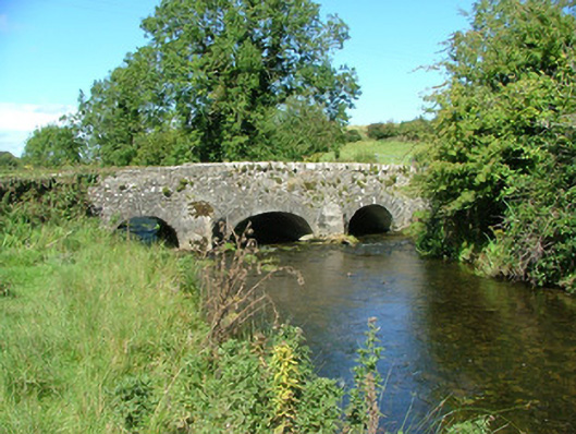 Aghnameadle Bridgebridge · 253 yd
 Enclosure in AghnameadleEnclosure · 670 yd
 Megalithic structure in AghnameadleMegalithic structure · 825 yd
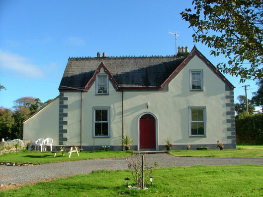 Barnagrotty Housefarm house · 1236 yd
 CastleCastle, motte · 1447 yd
 Kyleroe WoodWood · 1.6 mi
 BenduffMountain / peak · 2.4 mi
 Borrisnoe MountainMountain / peak · 2.5 mi
 Longford WoodForest · 5.1 mi
 Thomas MacDonagh Heritage CentreMuseum · 7.0 mi
 MacDonagh HouseMemorial · 7.0 mi
Other information
Photo: Credit not shown in the picture search · Rights wording not checked; contact us if this picture should be removed