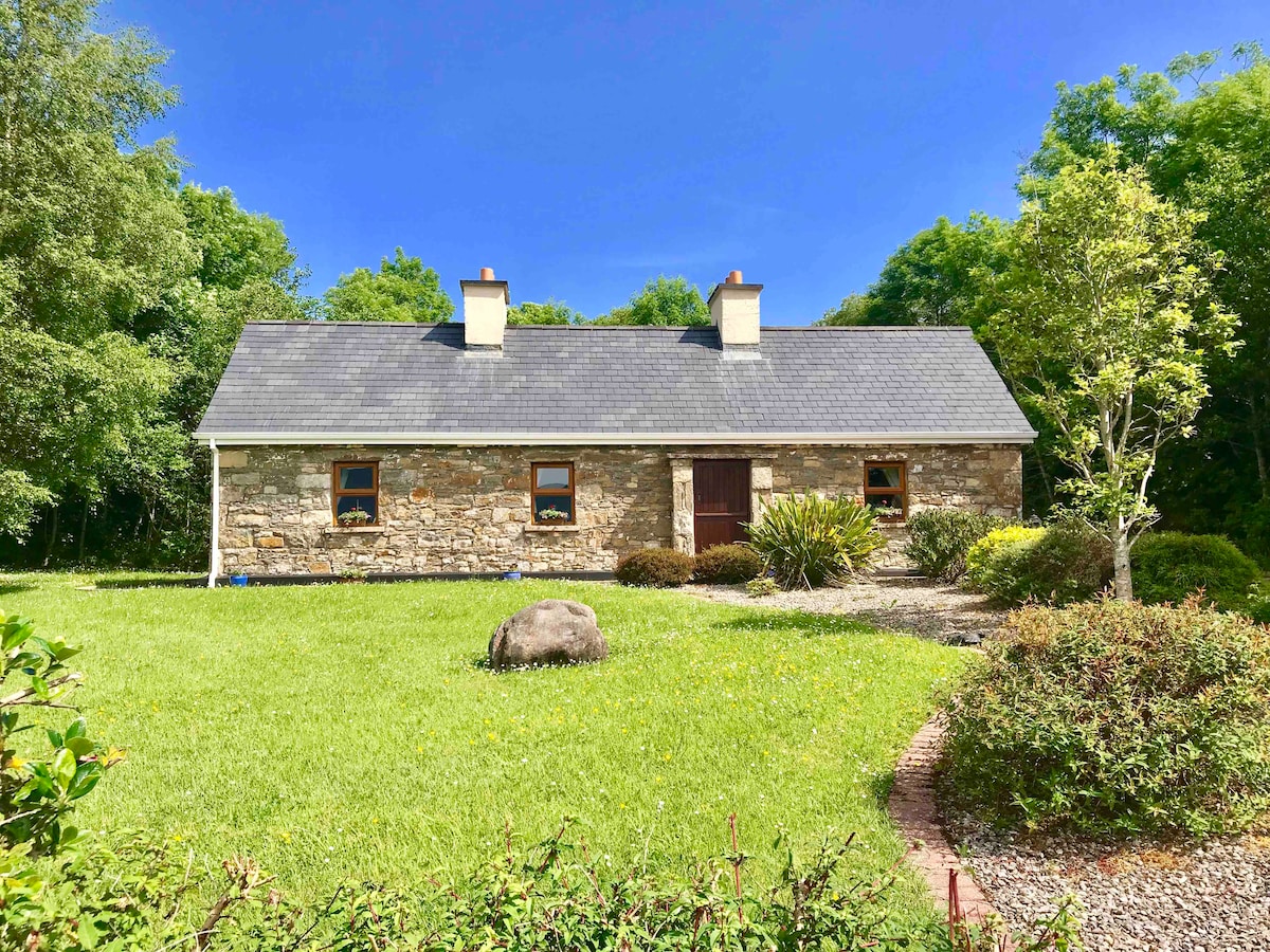
What is recorded here
Indicated is a hidden rectangular fort in County Leitrim, drawn on old surveys but erased from the living land. It may have been a trading post, a refuge or a forgotten home, yet no wall or gate remains to prove which. The Glenaniff River still flows nearby while the fort disappears into pasture and time.
In reclaimed pasture towards the bottom of a steep E-facing slope with the S-N Glenaniff River c. 170m to the SE. Depicted as a rectangular area (dims c. 40m E-W; c. 30m N-S) and entitled 'fort' on the first edition of the OS 6-inch map. It is not visible at ground level.
The above description is derived from 'The Archaeological Inventory of County Leitrim' compiled by Michael J. Moore (Dublin: Stationery Office, 2003). In certain instances the entries have been revised and updated in the light of recent research.
Date of revision: 7 January 2016
The monument record does not grant public access. Check the route and ask the landowner before entering private land.
- What survives
- Recorded monument
Places near here
 Mass-rock in DerrynahimmirkMass-rock · 670 yd
 Fowley's FallsPicnic place · 800 yd
 Giant's GraveArchaeological place · 880 yd
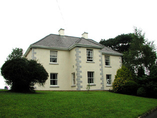 presbytery/parochial/curate's housepresbytery/parochial/curate's house · 1287 yd
 Sweathouse in TawnaleckSweathouse · 1347 yd
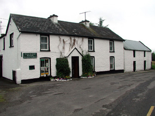 Rossinver Post Officehouse · 1408 yd
 Ross PointHeadland · 1.3 mi
 Saddle HillMountain / peak · 2.6 mi
 Sally IslandIslet · 2.7 mi
 Bilberry IslandIslet · 2.8 mi
 Conwal NorthMountain / peak · 3.1 mi
 Kilroosk RockNamed rock · 3.8 mi
Other information
Photo: Credit not shown in the picture search · Rights wording not checked; contact us if this picture should be removed